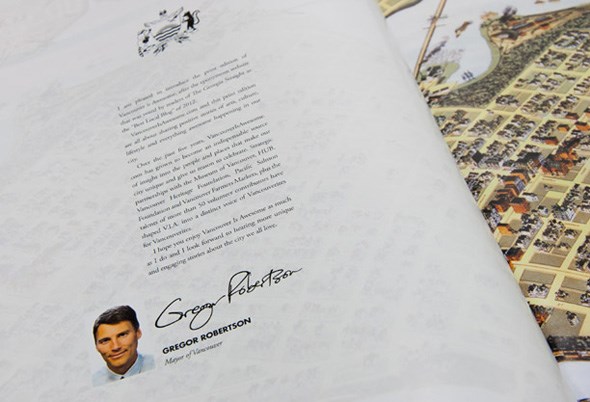
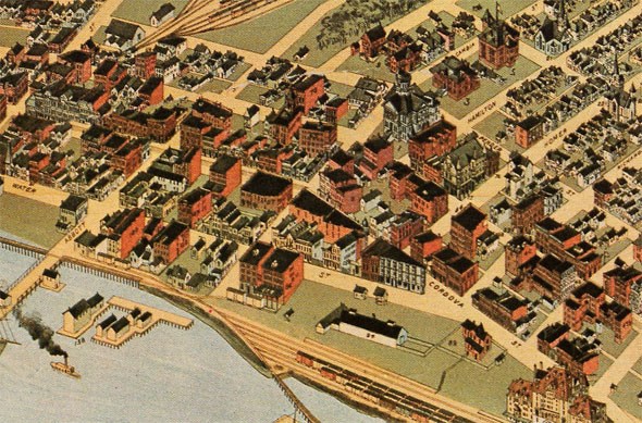
Remember our COLLECTIBLE PRINT ANNUAL that we released 25,000 free copies of back in November? The one which had an intro penned by your very own Mayor Gregor accompanied by an archival map of our city?

The map featured on those intro pages was actually an excerpt from Douglas & McIntyre's British Columbia, A New Historical Atlas, which is an incredible book that features over 900 maps that they sourced and wrote about. It's one of the many reasons why I love that local publisher and am still smiling over last month's NEWS that they got rescued from bankruptcy by Harbour Publishing.
Something else to smile about, the very reason I started authoring this blog post in the first place, is that the City of Vancouver Archives have just completed a fantastic map project of their own. Through a grant from the British Columbia History Digitization Program they were able to digitize 512 maps and plans from their holdings, the one featured in our magazine was one of them.

Learn more about the project and see more maps RIGHT HERE!
Hat tip to the Vancouver Public Space Network.


