
 Vancouver, Canada – May 2017. People Enjoy the sunshine at English Bay Beach / Shutterstock
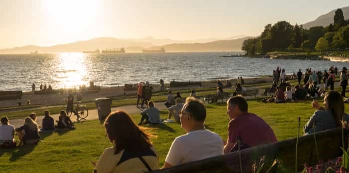
The Metro Vancouver weather forecast calls for winter's warm temperatures to carry into spring, but it is still too early to tell exactly how much precipitation the city will see.
Metro Vancouver had its fourth wettest December on record, but January has seen a fairly average amount of precipitation for the month. With that in mind, it has seen a much warmer January than usual, as well as a warmer winter overall.
Vancouver Is Awesome spoke to Carmen Hartt, Meteorologist, Environment Canada, who explained why this year's winter saw above average temperatures, and also why it was harder to predict the long-term forecast.
"El Niño has a major impact on weather patterns around the world, and the Lower Mainland saw temperatures of about one degree higher this January," she remarked. "With that being said, we describe this El Niño as developing rather than official, which makes it hard to know for certain how it will affect the forecast in the long-term."
When asked about the distinction between developing and official, Hartt illustrated how there are three official signals of the phenomena that must be demonstrated in order for it to be classified as an official El Niño.
"We currently have warmer waters in the equatorial pacific - that would be the first signal - but there are two other signals that we would need to see. We also need to see the atmospheric circulation response, and it needs to meet the duration criteria."
Since only the first criteria has been met, the current El Niño is classified as weak - they may also be classified as mild or strong. As such, the forecast predicts slightly warmer than usual temperatures to continue through the rest of winter and into spring. With that in mind, forecast confidence decreases over time.
So, even though an impressive 18 record lows were set in the province in early October, it looks like the Lower Mainland will see some fairly mild temperatures for the rest of winter and into spring.


