
 Photo: ricarg63 / Instagram
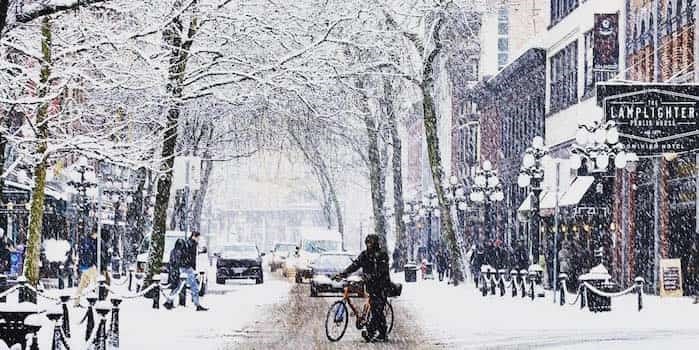
The Vancouver weather forecast is calling for 15 – 25 cm of snowfall as a second low pressure system brings snow to the south coast today. However, the snowfall is expected to stop later this evening.
With that being said, the forecast calls for more snowfall throughout the night, and therefore transit will be affected by the conditions. In fact, Environment Canada has issued another warning for region, with up to 15 to 25 cm of snowfall expected.
The region applies to the following cities:
- City of Vancouver - including Burnaby and New Westminster
- Metro Vancouver - northeast including Coquitlam and Maple Ridge
- North Shore - including West Vancouver and North Vancouver
- Metro Vancouver - southeast including Surrey and Langley
- Metro Vancouver - southwest including Richmond and Delta
The department also states that commuters should, "prepare for quickly changing and deteriorating travel conditions. Surfaces such as highways, roads, walkways and parking lots may become difficult to navigate due to accumulating snow. If visibility is reduced while driving, slow down, watch for tail lights ahead and be prepared to stop."
Vancouver Is Awesome spoke to Carmen Hartt, Meteorologist, Environment Canada, who explained what the region has to look forward to in the coming days.
"The snowfall is expected to continue into the night, but it will start to taper off in the morning," she described. "Wednesday is expected to be relatively clear and sunny, but it will still be cold, and therefore the snow won't melt."
She notes that these temperatures are quite unusual for February, as well as the recent weather patterns.
"Not only did we have one system bringing in the cold temperatures and snowfall, but we've had this second one move in and bring major accumulations of snowfall."
When asked how much snowfall the Lower Mainland has to look forward to for the rest of the week, Hartt stated that it was hard to gauge exactly what is in the cards, but that it looks like there will be a precipitation event in the near future.
"We are predicting a mixed precipitation event later this week," she said."On Thursday we will see a mix of snow and flurries, and possibly freezing rain. Since it will be so cold the snow won't really melt. What's more, these types of precipitation can form what is known as 'black ice.'
"Travellers will have to be cautious."


