A freezing rain warning remains in effect for much of the Okanagan, while heavy snow is expected at some higher elevation areas of the Southern Interior.
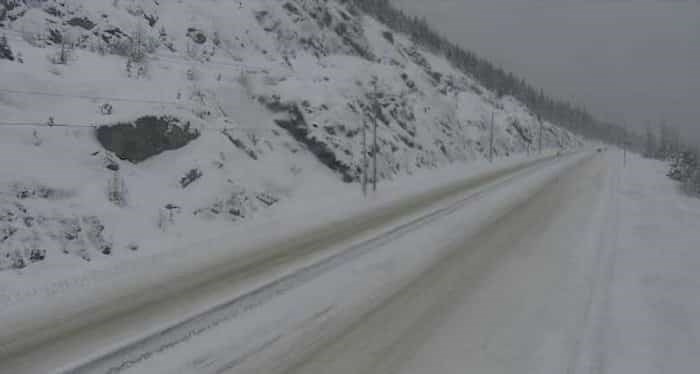 Photo: Drive BC / Twitter
Saturday morning, Environment Canada continued its special weather statement for the Central and North Okanagan, warning of freezing rain.
“Surfaces such as highways, road, walkways and parking lots may become icy and slippery,” the warning states. “Take extra caution when walking or driving in affected areas.”
Flurries and freezing rain are also forecast for the Okanagan Connector, the Coquihalla Highway, from Hope to Kamloops, and Highway 3 through Allison Pass.
A similar warning was issued Friday afternoon.
Meanwhile, 20 to 25 centimetres of snow are forecast to fall on the Trans-Canada Highway around Revelstoke, between Eagle Pass and Rogers Pass. The snow is expected to continue through to Sunday morning.