
Scientists have discovered a new active earthquake fault line in the Elk Lake area that could lead to an earthquake big enough to topple downtown buildings and damage public institutions like the B.C. legislature.
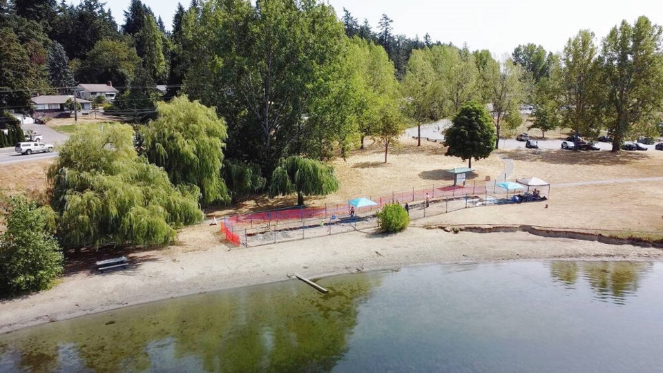
An international team of academics from the University of Victoria and American and French universities have mapped the fault line for roughly 10 kilometres from around Willis Point on the Saanich Inlet across Elk Lake to Cordova Bay.
It’s possible the fault line extends east through the ocean and connects to other fault lines in the San Juan Islands in the U.S., said Ed Nissen, a professor of earth and ocean sciences at UVic, but so far, the team has mapped the fault line to just offshore near the north end of PKOLS, or Mount Douglas Park.
The team identified an earthquake along the fault line between 2,300 and 4,700 years ago, which in a geological time frame is relatively recent, Nissen said.
“The Earth’s crust is riddled with faults that are hundreds of millions of years old. But you know, most of them don’t continue to be active today. But if you see something that has been active just in the last few thousand years, then we call it an active fault,” he said.
The earthquake linked to the fault line was of a magnitude between 6.1 and 7.6.
If an earthquake of a magnitude in that range were to hit along the fault line today, it would be “very, very damaging,” Nissen said.
Some older buildings would likely collapse, including some schools, brick buildings downtown, the legislature and the Royal B.C. Museum.
“We certainly don’t rule out there being fatalities, people sort of buried in rubble,” he said.
There could be damage to the Pat Bay Highway, since the fault line crosses the highway, and major transportation issues as a result.
An earthquake could lead to landslides on the steep slopes of the Malahat and localized tsunamis that could damage Swartz Bay and coastal areas of the region.
Victoria is sandwiched between this fault line and another one that runs from south of Port Renfrew through Esquimalt Lagoon and into the water, continuing a few hundred metres off Dallas Road, Nissen said.
It’s unclear how far either fault line continues into the water and what potential connections they have with other fault lines, he said, which means the severity of a potential earthquake is uncertain.
“I always like to say size matters with earthquakes. So big earthquakes require big fault areas, long faults to rupture along. And small earthquakes just involve small faults,” he said.
If the fault line extends much farther than the team has mapped, it could mean a larger earthquake.
Earthquakes can’t be predicted, but it’s likely the fault line could have an earthquake in the next few thousand years, Nissen said.
“Of course, that’s many lifetimes, so that’s unlikely to impact us,” he said.
However, the discovery of the new fault line is a reminder of the importance of retrofitting old buildings to make them seismically safer and knowing what to do in the event of an earthquake, Nissen said.
The study was led by Nicolas Harrichhausen, a researcher with the Centre National de la Recherche Scientifique in France, and sponsored by the U.S. National Science Foundation.


