
While Metro Vancouver was battered by the fierce wind and rain storm of Nov. 14 and 15, communities east of the city are in much worse shape.
The City of Merritt ordered 7,000 residents to evacuate after floodwaters inundated two bridges knocked out the city's wastewater treatment plant indefinitely. In Princeton, dozens of homes were evacuated after floodwaters swamped several structures. The City of Abbotsford broke its all-time rainfall record and by Monday (Nov. 15) morning much of the region lay under a blanket of water.
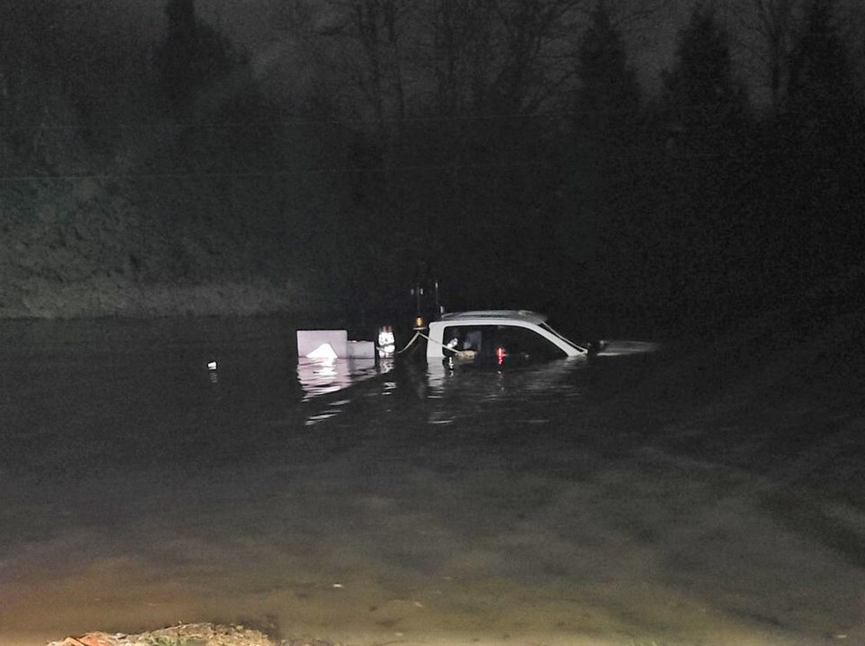
At one stretch of Highway 7 near Agassiz, up to 275 people — including about 50 children — were trapped in their vehicles overnight after two landslides pinned a line of cars between a hillside and the Fraser River. Rescue crews including the Canadian military are still working to evacuate residents still trapped in their vehicles or homes.
Residents of these communities took many photos and videos of the carnage and shared them on social media.
Abbotsford
@thecourtneystyba I am so sad for the village ☹ #bcflood #abbotsford #rainfall #mudslide #flood
♬ yelena belova needs a hug - eliza 💌
@that04gli When your neighborhood is now 2 feet under water and your car is up on boards…. #ohno #flood #savethecar #abbotsford #canada
♬ Oh No - Kreepa
@kyle_unrau Little bit of water 😳 #abbotsfordflood
♬ Five Feet High and Rising - Johnny Cash
@bschmelzy Noah's out there rounding up the animals #vancouver #flood #abbotsford #rain #keepitsimple #paddleboard #noahsark #viral #foryoupage #foryou #fyp
♬ Oh No - Kreepa
@mom.meets.world Floods in #abbotsford #fraservalley #floods #yvr #vancouver #omg #firefightertiktok #brave #thankyou #mudslide #weather #serveandprotect #canada #bc
♬ Easy On Me - Adele
Chilliwack
@jackforeman16 #fyp #chilliwack #bc #flooding
♬ original sound - frankiemacdonald
@sturgeonslayers This is chilliwack right now. #flooding #safety
♬ Pink Soldiers - 23
@sturgeonslayers So sad what’s happening right now in Chilliwack. If you are in area and need help DM us on here or Instagram #flooding #safety
♬ Praise God - Kanye West
@jackforeman16 PT:2 Chilliwack BC flooding. shoutout @frankiemacdonald1984 #fyp #bc #chilliwack #vancouver @globalnews.ca
♬ original sound - frankiemacdonald
Langley
@truckbc Current Situation on 102B Ave and 201 St in Langley. #britishcolumbia #bcstorm #vancouver #Langley #flood #trucking
♬ Playmate at a scary scene - Kohrogi
@fromthe604 hold my drink #SephoraGiftList #ShoppersWishlist #abbotsford #flood #flooding #bc #surrey #langley #chilliwack #fraservalley #fy #fyp #foryou #xyzbca
♬ original sound - kadosaverz
@bigeinbc good old flooding in Langley #flood #bc
♬ original sound - Eric Joseph Charette
Maple Ridge
@604tv #bcfloods #vancouver #storm #604tv #fyp #SephoraGiftList #surrey #richmond #mapleridge #floods #mudslide
♬ original sound - 604tv
@tp9217 224 st. #flooding in #mapleridge #4runner #liftedtrucks
♬ Rain - Aitch & AJ Tracey
With files from Brendan Kergin, Chelsea Powrie, Stefan Labbé and Alanna Kelly


