
Ever notice those differently-shaped signs along the Sea to Sky Highway and wonder why they look like that?
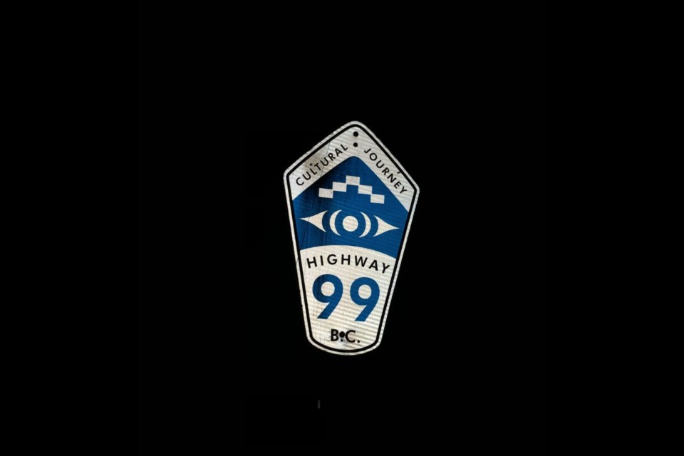
According to the Ministry of Transportation and Infrastructure, the route-marker shields on the Sea to Sky Highway were created simultaneously as the custom dual English/Indigenous language guide signs on the highway.
The kilometre markers on the Sea to Sky Highway are shaped like the end of a paddle.
"This design was chosen through consultation and input with [Sḵwx̱wú7mesh] Squamish and Lil’wat First Nations," the spokesperson said.
These signs were installed as part of improvements to the Sea to Sky Highway, with all signs in place by April 2009, before the 2010 Winter Games, which was hosted by Vancouver and Whistler.
There are 19-kilometre marker signs with this paddle design on the Sea to Sky Corridor.
For reference, the zero point of Highway 99 is at the Canada/US border. On the Sea to Sky Highway, the kilometre marker signs go from kilometre 75 to kilometre 165.


