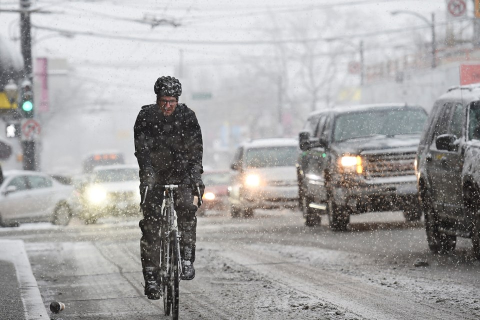
Environment Canada’s latest storm warning has the City of Vancouver preparing for what could be hazardous conditions on the streets.
A Pacific warm front is expected this afternoon, which will move in from the south and spread warmer, moist air over the colder Arctic air still in place at the surface, according to the storm warning.
Major Winter Storm approaching S Coast & S Interior. Be sure to check all the latest forecasts & warnings https://t.co/UB0iybszoa #BCstorm pic.twitter.com/y7Wdu1YlLQ
— ECCC Weather BC (@ECCCWeatherBC) February 8, 2017
Snow is expected to start falling this afternoon and become heavier into the evening. Environment Canada says “there will be a good chance of freezing rain followed by significant rainfall overnight Wednesday and Thursday.
“The transition to rain is expected earliest along the immediate coast. Further inland, snow will persist longer and the risk of freezing rain will increase. As a result, snowfall amounts will vary considerably across the region, from 5 to 15 cm near the coast to 20 cm or more inland.”
The City of Vancouver plans to salt, plow and treat priority areas as required.
Snow removal map courtesy City of Vancouver
“Residents and businesses can expect to see any snow remaining on side streets and sidewalks turning to ice as early as Wednesday evening,” according to the city in a press release issued Tuesday evening.
As the temperature warms and the arterials are cleared, the city will begin to focus on salting and sanding side streets — beginning with those most affected by compacted snow.
“The salt will help to melt the ice, while the sand will provide traction for vehicles,” the press release states.
The city advises residents to salt sidewalks before the snowfall starts and shovel new snow as soon as possible. Residents have until 10 a.m. the morning after a snowfall to clear their sidewalks or they could face fines.