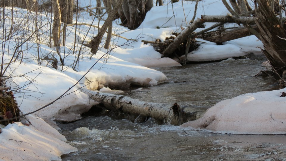
Many B.C. rivers are particularly vulnerable to flooding right now, with the spring freshet having been delayed by three to four weeks later than normal due to cool temperatures.
During a briefing Thursday, Dave Campbell of the River Forecast Centre said B.C. is in a “critical window” over the next two to three weeks. Snowpacks around the province remains unseasonably high, at an average of about 165 per cent of normal, but much of that snow is expected to melt in the coming weeks.
“We really have turned a corner, so over the last couple of weeks we're seeing that snow is melting, it's starting to bring up the rivers around the province. Many of them are approaching near capacity for the amount of flow that they can handle,” Campbell said.
“This really brings us into what is going to be the critical window for freshet season across the province over the next two or three weeks. We are expecting that with these rivers full, we are very much vulnerable to any kind of extreme weather pattern that might emerge.”
This extreme weather could include prolonged hot weather, like the “heat dome” B.C. saw in June 2021, or any periods of prolonged rain.
“We're not seeing, at least in the short term, that risk of hot weather scenario, but certainly we are in that period of ongoing wet weather,” Campbell said. “So we will be watching that closely and certainly there are some vulnerabilities associated with that.”
Environment Canada meteorologist Armel Castellan noted some areas of B.C.'s coast could see some significant rainfall over the next 72 hours, with up to 60-70 mm of rain falling on the south coast of Vancouver Island up to the north coast through to Saturday.
Less rainfall is expected to fall in the Southern Interior, with the forecast calling for closer to 10 mm of rain over that same period in the Kelowna area.
Castellan said the northeast corner of the province is of most concern right now, around the Liard River, which could see 20-40 mm of rain through to Saturday. There is currently a flood warning in effect for the area. Additionally, about 300 people have been recently evacuated from their homes in the Terrace region due to flooding.
Over the next month or so, Castellan says temperatures are forecast to remain below normal, while wetter conditions are expected to persist in Southern B.C.
To date, about 20 per cent of the province's snowpack has melted. Campbell says on a normal year, that number would be about 50 per cent.
“The last time we had similar conditions was back in 2012, we're seeing that delayed melt,” he said.
“It's going to be how does that snow melt over the coming weeks, so there certainly is risk. There's nothing imminent that we're seeing in terms of things like the Fraser River but we know that the next few weeks is going to be that critical window of time.”


