
Vancouver's harbour is one of the busiest in the world, with a world-class shipping port, a massive cruise ship terminal and all sorts of human activity from a rowing club to a seaplane airport to the iconic Canada Place.
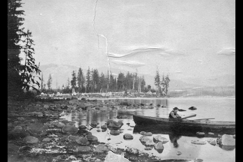
The massive developments that pepper the shore are new when it comes to the land. When settlers first arrived in the area to set up communities the shore was a common building site, but there just weren't that many people in the area, settlers or indigenous, back in the 1850s or 1860s.
Just decades before skyscrapers started to show up along the waterfront of Vancouver's harbour massive trees covered the land. In fact, clearing those trees and the debris left behind from logging operations led to the Great Vancouver Fire of 1886.
These photos show Vancouver's waterfront from this period, stretching from what we now call the Coal Harbour neighbourhood to the Port of Vancouver terminal.
While many of these photos do show a sparsely populated land, the Hastings Mill and Gastown areas can often be spotted, as that was the heart of what would become the city of Vancouver, where industry first made its mark in the area. Often tall ships' masts can be spotted in the photos, and often those masts are near or docked at the mill, creating a landmark to orient around.
Interested in finding more archival photographs of Vancouver? Search the City of Vancouver Archives’ online database. For more information about the Archives, its holdings, and how to research, visit the Archives’ website.


