
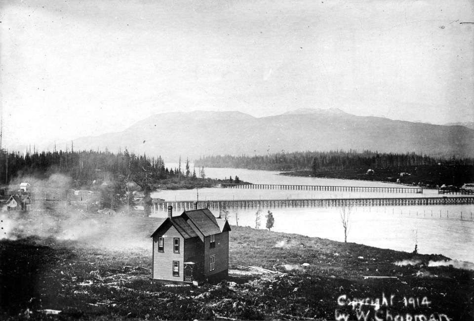
Tucked away in the City of Vancouver archives lies a stark photo of a lone house looking out onto the newly completed Granville Street bridge and a forested Granville Island.
Taken in 1890, the photo shows the first rendition of the Granville Street Bridge which was completed in 1889 and behind it, the Kitsilano trestle bridge completed in 1886. If the camera stayed in the same place and took another photo 40 years later it would have seen the completion of the Burrard Street Bridge in 1930.
The Granville Street bridge in the picture would undergo some serious upgrades 20 years later but it would take another 45 years from then for it to become the bridge we all recognize today.
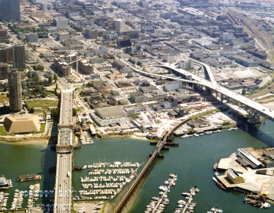
The Kitsilano trestle bridge, on the other hand, outlived its usefulness as the downtown connector for streetcars in the early 1980s and was removed. Other archival photos show all three bridges, the Burrard, Granville and the Kitsilano trestle all running alongside each other.
As pointed out by Changing Vancouver, a historical blog documenting Vancouver’s changes over the years, the original right-of-way for the rail line can still be seen today. The curved line of buildings around the Harbour Cove and Mariner Point follow the rail line laid out by the Canadian Pacific Railway almost 100 years before.


