
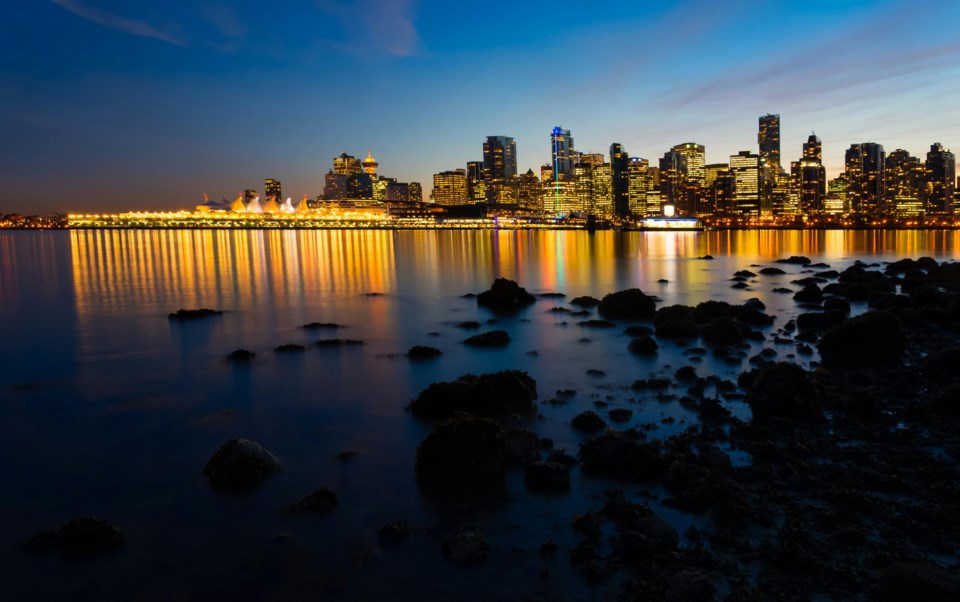
B.C. is the home to many people, places, and things, including the City of Vancouver.
The history of the name goes back to the 1850s, when the British Empire claimed the land. The Colony of B.C. was officially founded in 1858. In 1866, it was combined with the Colony of Vancouver Island and the two colonies kept the name Colony of B.C. In 1871, it joined Canada as a province.
The first official B.C. day didn't come around until 1974.
But the province is much more than a few colonial dates, and here are five facts to expand on that.
1. Earliest residents
One of the oldest settlements in North America was confirmed a few years ago, and it's in B.C.
The term "since time immemorial" is used to refer to history that was long ago; there's no written record of it. It's often used to refer to how long First Nations groups have been in B.C.
While it's unclear exactly when the first people stepped foot in what is now B.C., it was at least 14,000 years ago.
Triquet Island, north of Vancouver Island, has a village site from that era, connected to the Heiltsuk First Nation.
For context, at the same time, mammoths were still wandering the continent, the last ice age was still going on, and the Sahara was filled with plants.
2. Prime Minister of B.C.
While today we call the leader of the provincial government the premier, that wasn't always the case.
Up until the 1970s they were often called the prime minister of B.C., and there are still plaques around the city that refer to them as such.
3. Driving on the left side of the road
B.C.'s government stuck with its administrative heritage when the first cars hit the road in Vancouver, Victoria, and across the province.
They drove on the left-hand side of the roads here up until 1922, when they made the switch.
To mark the occasion, one of the local newspapers ran an article from a horse's point of view.
4. Vancouver is in eastern B.C.
While Vancouver is on Canada's west coast and the edge of the Pacific Ocean, that doesn't mean it's in western B.C.
In fact, Victoria isn't quite in western B.C., either.
The middle of B.C. is actually closer to Tofino.
B.C. is sort of diagonal on a map, and when compared to lines of longitude, the east-west stretch becomes more obvious.
And thanks to B.C.'s extreme westernmost point being on the Yukon-Alaska-B.C. border (which itself is northwest of Alaska's capital, Juneau), it pulls the average west as well.
5. The flag on the license plate is all sorts of wrong
If one looks at B.C.'s license plates, they might be confused by the flag that sits in the middle.
The stylized flag on the plate attempts to recreate the very busy symbol of B.C., but:
-
It doesn't have a crown.
-
It has two blue stripes instead of four.
-
It doesn't have any white stripes.
-
The sun covers the Union Jack, not the waves and mountains (the white stripes are supposed to be mountains).
-
Only the bottom of the Union Jack is included.
Sure, we could point out the sun has the wrong number of rays, but that feels like nitpicking.
Bonus fact:
B.C. has a tremendous number of mountains, and many have unique and interesting names.
Not all of them, though. In northern B.C. there's a volcano that's simply (and officially) called The Volcano.


