
If you're feeling a bit sick of wintry weather, you are far from alone.
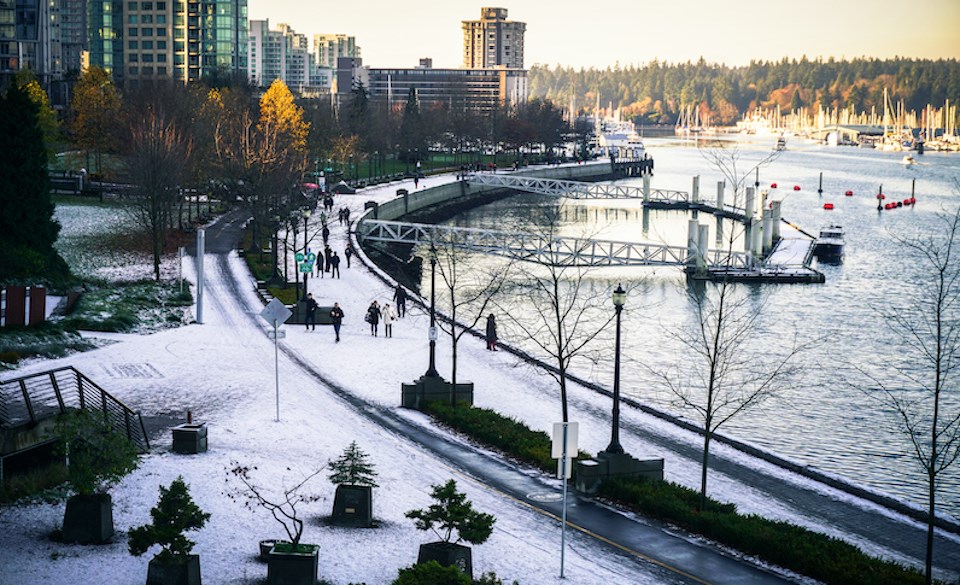
Metro Vancouverites were largely stunned to see a dusting of snowfall late Wednesday (Feb. 23) evening, despite Environment Canada calling for the possibility of the frosty stuff for nearly a week.
In a previous interview, Environment Canada meteorologist Doug Lunquist told Vancouver Is Awesome that the region can see cold-weather events in February or March. However, temperatures during late winter can't drop as low as the ones seen in December 2021. "That is impossible," he emphasized.
Since the arctic air moved into the region near the winter solstice, there weren't enough daylight hours to allow for significant warming. In contrast, there are increasing daylight hours in February and heading into March, which means temperatures won't dip as low.
But that doesn't mean the region can't see periods of modified arctic air—and that's specifically why temperatures have felt so frigid of late.
Environment Canada meteorologist Derek Lee told Vancouver Is Awesome in a phone interview that the arctic weather pattern came into Metro Vancouver from the interior which makes for much "colder and drier air" in the region.
Metro Vancouver typically sees highs close to the double digits in February with lows dropping to about 2°C overnight, he explained, highlighting that temperatures are significantly below average. With windchill, Friday morning is expected to feel like a frigid -11°C.
But Lee noted that the cooler air has created much drier than average conditions in the region, too.
"It's a bit of a trade-off," he said. "The cooler and drier air generally brings sunny weather so we did see some kinda nice days here but a bit cold."
As temperatures warm up, locals should expect much more wet weather. A flow moving in from the Pacific will bring warm, moist air into the region on the weekend that will likely result in some showers Saturday night. By Sunday or Monday, Lee expects the showers to transition to rain.
While it's still a bit premature to comment on the long-term spring forecast, Environment Canada is forecasting a La Niña pattern, which generally means "cooler temperatures for the province," explained Lee.


