
Snow warning for Metro Vancouver is gone but this doesn't mean the weather is stable.
The city will see a grabbag of weather this week as temperatures head straight for winter in Vancouver.
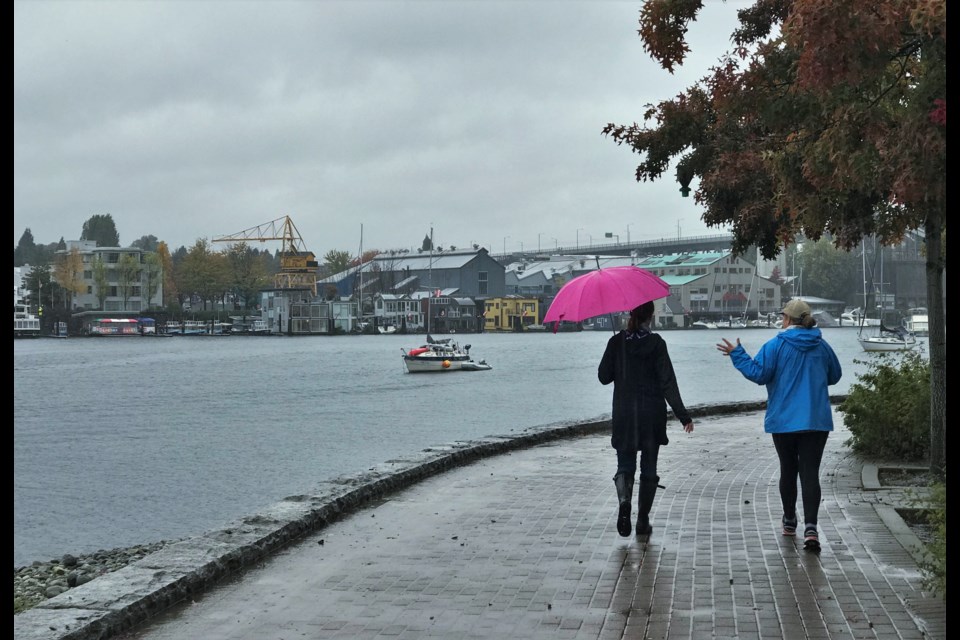
The weekend's showers will continue into Monday. The morning commute will be grey with precipitation, according to Environment Canada.
However, that should clear up a bit as the day goes on, and in the afternoon there will be a mix: a 30 per cent chance of showers, sunshine and cloudy skies with no precipitation are all in the cards. It won't be warm, though, with a high of just 6 C (well below the average high this time of year of 10 C).
Overnight the higher terrain areas of Metro Vancouver may see wet flurries, but for the vast majority of people it'll just be showery with a low of just 1 C.
Tuesday should bring sunshine and stable weather, but still cold temperatures. A high of just 6 C is again predicted, and that'll be impacted by a breeze passing in some windchill (though Environment Canada doesn't say how much, yet).
Overnight, it will drop to -1 C, which is the the coldest Vancouver has been since last winter.
Wednesday, Nov. 9 will be more of the same, with a high of just 5 C and a low of -1 C. Thursday will be similar, but cloud will be moving in as a small system arrives. Overnight temperatures may rise a bit to 1 C.
On Friday, it's expected to be cloudy again, with a high of 6 C and a 40 per cent chance of showers. A positive note is that the showers are expected to leave late Friday. And Metro Vancouver residents can expect see a mix of sun and cloud with a high of 7 C on Saturday, Nov. 12.


