
The dramatic weather in Vancouver will continue until this weekend says Environment Canada.
Up to 50 mm of rain and winds gusting up to 70 km/h are expected starting Thursday, Jan. 6 and into Friday. Meteorologist Brian Proctor says a frontal system is moving into the area, pushing the arctic air back that's been sitting over Vancouver for a while.
That means the boundary for where snow, rain, and freezing rain will fall is moving. For the North Shore, more rain could fall; for higher elevations, more snow is expected and for areas in the Fraser Valley more freezing rain is expected.
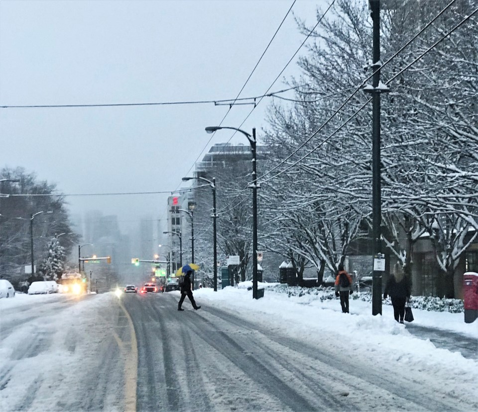
"We had 10 to 20 cm of snow fall across much of Metro Vancouver and it's slowly turning to rain," he explains. "It's going to really increase in intensity and rain this afternoon and continue to rain tonight and into tomorrow."
That will create slushy conditions for commuters this evening and tomorrow morning, he adds, as temperatures are expected to stay above freezing. However, what may follow could create worse conditions.
"Tomorrow night I've got more concern about it freezing," he says. "It could be quite messy."
If it freezes it could create icy patches on roads and slippery surfaces. Bridges and overpasses are of particular concern, he notes, as the cold air underneath the road will cause it to freeze faster than roads on the ground.
While there's confidence around tonight's forecast, Proctor explains meteorologists are still working to nail down what to expect Friday night.
Beyond that things will get better.
"The forecast is starting to improve as we move through the weekend," Proctor says. "Saturday itself looks pretty much like some wet snow in the morning and rain in the afternoon."
That'll be the beginning of a warming trend that'll see temperatures return to more normal Vancouver levels, with highs around 8 C and lows near 5 C next week.
Further out it's difficult to predict, but Proctor explains the La Niña trends should continue.
"For the remainder of winter it's suggesting it'll be La Niña-like," he explains. "Below normal temperatures on a long-term basis and a good chance of getting precipitation and a little snow."
That includes the potential for arctic outbreaks, but it's not a certainty.

