
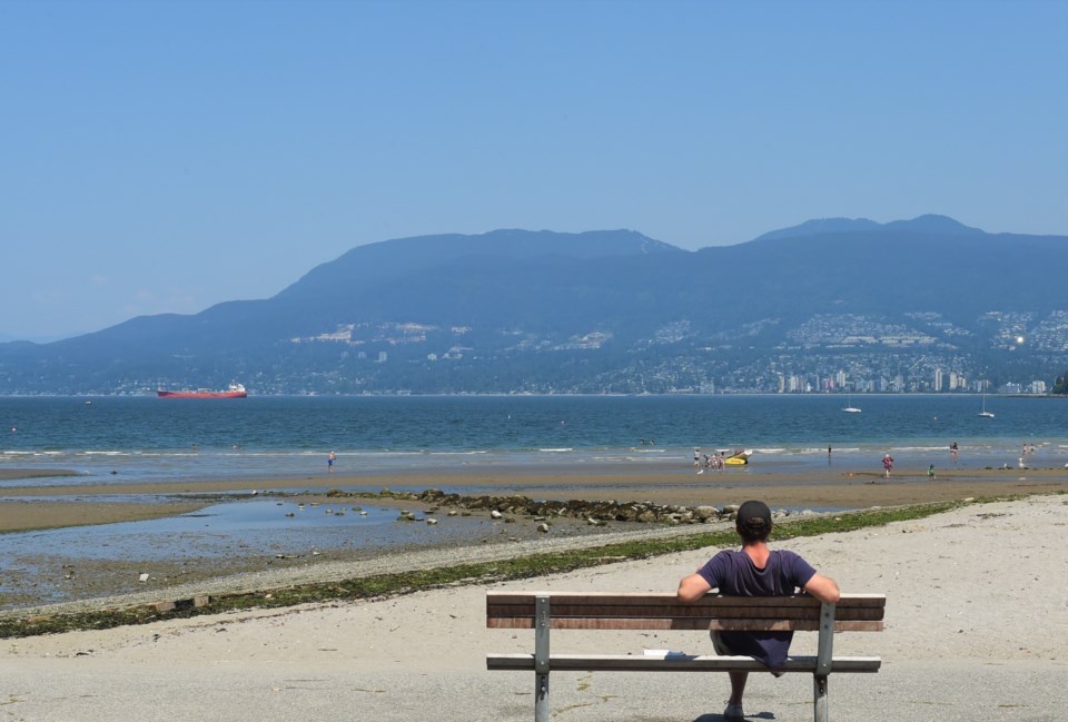
Metro Vancouver faces a few more days of heat before a cooling trend arrives.
High temperatures in Metro Vancouver are forecast to touch 30 C on Tuesday, July 15, in areas like Pitt Meadows or the top of Burnaby Mountain, but most parts of the city will remain in the high 20s, Environment Canada meteorologist Matt Loney tells V.I.A.
And that'll mark the high point on Vancouver thermometers for the foreseeable future.
"Temperatures are going to back off a bit tomorrow," says Loney.
A weak system moving into the interior will "take the edge off" the heat for Wednesday, he adds.
Highs will still be above average for Wednesday to Friday, though, sitting around 25 C near the water and up to 28 C or 29 C inland.
However, with the Humidex, it'll feel warmer. Temperatures inland could feel like 34 C on Wednesday.
Overnight lows are expected to be around 16 C.
Cool down coming
Loney says cooler temperatures are coming soon, though.
"Then we get into a northwest flow, so it's a cold front coming through; that'll be sometime Friday night," he explains.
"We don't expect much in the way of precipitation, but it'll certainly have a marked effect on the temperature."
It'll drop temperatures several degrees in some areas, with highs of just 21 C expected Saturday.
"Basically, the flow will come from the northwest, off the Straight of Georgia," Loney says. "We get kind of a breeze with this."
He expects the skies to stay relatively sunny, but the marine air mass arriving in Metro Vancouver will replace the warm air currently here.
Stay up-to-date with hyperlocal forecasts across 50 neighbourhoods in the Lower Mainland with V.I.A.'s Weatherhood.


