
The Metro Vancouver weather forecast includes clear skies and sunshine for the second night of the Celebration of Light fireworks at English Bay.
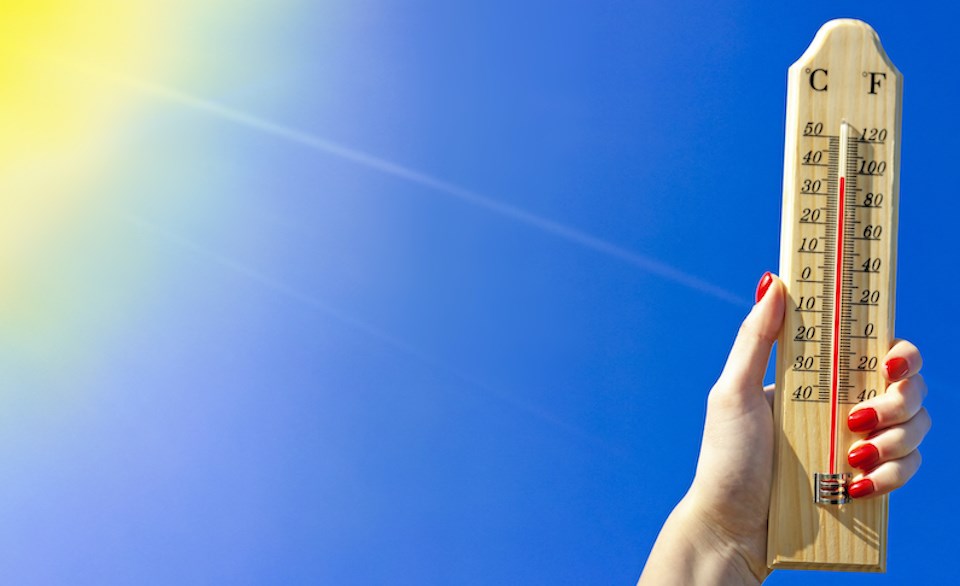
Environment Canada Meteorologist Matt Loney tells V.I.A. that temperatures should reach highs around 24 C on the coast and 27 C inland on Wednesday, July 23. With humidity, these temperatures will feel more like 29 C and 31 C.
Festival-goers may see a few clouds in the sky, but no precipitation is expected. Thursday's forecast also includes slightly above-average temperatures, with winds up to 30 km/h in the afternoon.
Loney says Friday's forecast includes about a 25 per cent chance of precipitation as a weak frontal system makes its way into the region. However, it would likely be trace amounts under a millimetre.
The maritime air mass should linger through Saturday, keeping temperatures closer to normal with a southerly breeze.
"It will be a nice day, but it won't be exceptionally warm," he notes. "It might be a good idea to bring a light jacket to the fireworks, but precipitation isn't expected."
Loney notes that Sunday could look a lot like Saturday, although skies are expected to clear completely.
Seven-day Metro Vancouver weather forecast
Heading into next week, a ridge of high pressure is expected to begin building Monday, producing temperatures in the mid-20s on the coast and upper 20s inland.
"Right now, it isn't looking like a heat wave. None of the models show a trend of oppressive heat," he comments.
The warmer-than-normal weather is expected to persist through the remainder of the month, heading into the August long weekend. The sunny, warm weather may cool off slightly over the weekend, but conditions are expected to be dry.
The ridge of high pressure may begin to break down sometime after Aug. 4, with cooler temperatures continuing for around a week or so, although this forecast could change.
A warmer, drier pattern is expected to emerge mid-August and continue through the rest of the month; the month also shows an above-average temperature signal.
Stay up-to-date with hyperlocal forecasts across 50 neighbourhoods in the Lower Mainland with V.I.A.'s Weatherhood.


