Just two weeks after Port Moody councillors suggested fees for the use of the city’s boat ramp at Rocky Point Park might have to go up to help pay for dredging the navigational channel at the pier, they’re now being asked to approve spending another $15,000.
The boost will allow expansion of the scope for a bathymetric survey in the Burrard Inlet near the park.
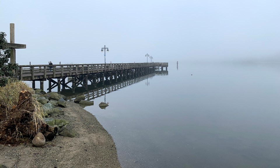
A bathymetric survey is used to measure the depth of a body of water, as well as some of its features. According to the US Geological Survey, the results of a bathymetric survey can be used for research about flood inundation, and the contours of streams and reservoirs.
A staff report suggests the additional money come from the reserve fund used to pay for maintenance of the boat ramp.
But at its meeting June 14, council said the tripling — to $750,000 — of the cost to dredge around the boat ramp and pier have to be paid from the reserve fund set aside to help pay for amenities around the community because the fund for maintaining the ramp that is financed by user fees isn’t large enough.
As a result, some councillors suggested the city should consider raising fees to access the ramp, as well as the parking area boaters use next to The Boathouse restaurant.
“We have to do more research to make sure we have a sustainable funding model,” said Coun. Meghan Lahti.
Coun. Hunter Madsen said the new budget was “incredible sticker shock” that should be offset by an increase of fees for boaters who access the ramp.
Port Moody’s manager of financial planning, Tyson Ganske, said some of the additional cost could be recouped with an increase of fees. But that’s not going to happen until at least 2023.
He added the city will have to try to negotiate a “balancing point” with fees that will keep usage of the ramp high while replenishing the coffers of its reserve funds.
“If they’re too high, we might drive traffic away.”
The dredging of the navigational channel at the ramp, as well as around the pier, is normally done every seven to 10 years and it was last completed in 2016.
Though the project was originally budgeted to cost $250,000, that estimate tripled because testing of the sediment that is to be dredged found pollutants like dioxin and furan; new rules by Environment and Climate Change Canada require that mud to be trucked away to a landfill for disposal rather then dumped further out to sea.


