
While Metro Vancouver saw soaring temperatures over the weekend, this week has been decidedly wet and stormy. However, the tempestuous conditions created some mesmerizing cloud formations.
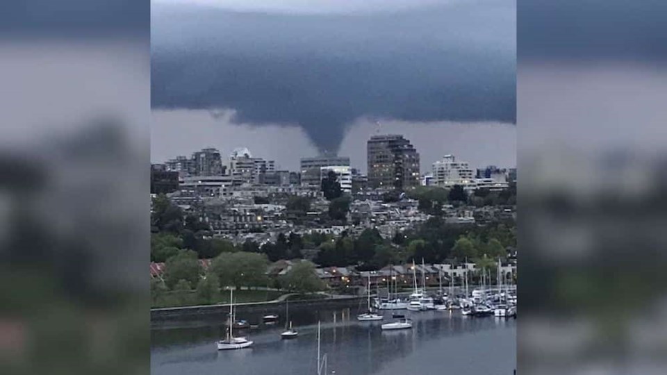
People shared images and videos of what looks like a funnel-shaped cloud over the Fraser River on Tuesday, May 12 in the evening.
The Weather Network Metrologist Tyler Hamilton says that a "fairly impressive" thunderstorm cell developed right between a stable marine layer and some residual near Vancouver International Airport. He adds that the images that were shared on Twitter show how a "prominent funnel cloud descending from a fairly well-defined thunderstorm."
Hamilton adds that "The storm appeared to feature a classic wall-cloud along with a clearly defined cloud base, but other severe weather parameters didn’t seem to line up in the environment to support a supercell."
Hamilton notes that "non-supercell tornadoes" sometimes develop in the region, especially with cold air aloft and with low-level instability. He notes that these instances often manifest as waterspouts across the South Coast.
He also remarks that "rotation can initiate below the developing updraft itself. In this case, low-level convergence continues to 'tighten up' as the thunderstorm grows vertically into the sky."


