
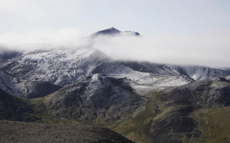
WHITEHORSE — The Yukon government says snowpack levels in one region have reached a record high, but flood risks this spring should stay low across most of the territory.
Yukon's Water Resources Branch says in its latest snow survey that the Porcupine River basin snowpack in the north sits at 174 per cent of historical median levels for March 1, setting a new record.
The survey also found the Lower Yukon and Peel River basins had above-average snowpack levels, while the Central Yukon, Stewart and Pelly River basins' snowpack was below average.
The branch says snowpack levels indicate low flood potential for most of the territory in the spring, although above-average risk does exist in the Klondike and Porcupine regions.
The survey says snowpack levels at other major basins — the Alsek, Upper Yukon, Teslin, Liard and White — remain close to average levels.
Officials warn, however, that snowpack is only one risk factor in potential spring flooding, with weather and the timing of snowmelt also contributing to the possibility of high water levels.
This report by The Canadian Press was first published March 8, 2024.
The Canadian Press


