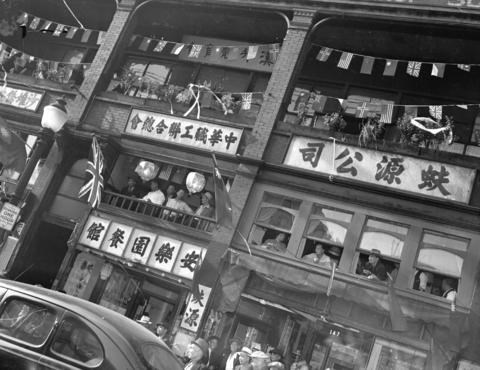
 Aug 14, 1945. V.J.Day Celebration, 100 block of E Pender St. CVA 586-3955
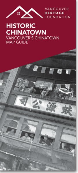
In 2009, Vancouver Heritage Foundation created several map guides about historic neighbourhoods in Vancouver, including Chinatown. In time for the City of Vancouver's official apology for historic discrimination against people of Chinese descent, we have updated the Chinatown map guide.
With the assistance of several historians and other experts in Chinese Canadian history we have re-written the text of the guide, added new sites, updated information for previous sites and taken new images of the buildings.
If you missed the official launch on April 22nd at the Chinese Cultural Centre don't worry. Printed copies are available in both English and Chinese language from VHF's office and the guide is also available as a downloadable PDF from the map guides page of our website. Copies of the guide in both languages will also be available at future VHF events, at key Chinatown locations and through the VPL.
In addition, we are working on an updated Historic Japanese Canadian District map guide, centering on the Powell Street neighbourhood to be launched in May. Stay tuned!