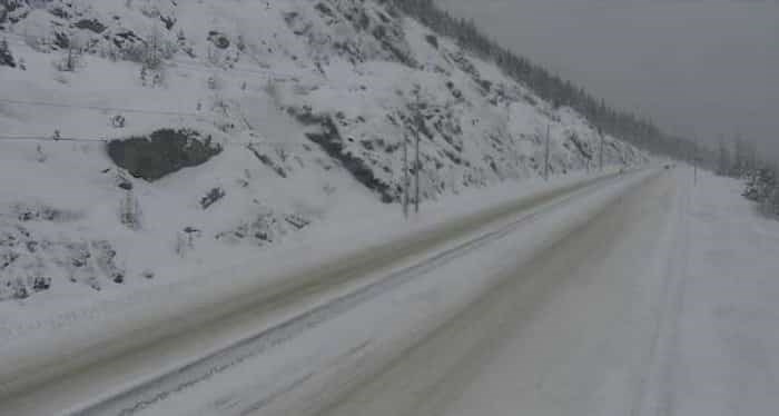
 Photo: Drive BC / Twitter
Environment Canada has issued a special weather statement in effect for many of the high mountain passes in the southern interior including:
- Coquihalla Highway - Hope to Merritt
- Coquihalla Highway - Merritt to Kamloops
- Highway 3 - Hope to Princeton via Allison Pass
- Okanagan Connector - Merritt to Kelowna
- Trans-Canada Highway - Eagle Pass to Rogers Pass
The forecast is calling for snow for the interior passes starting tonight and into Tuesday.
Periods of snow will develop over many high elevation highway passes starting this evening as a cold front sweeps down from the north. Snow flurries will continue through Tuesday afternoon.
The passes that will be affected by measurable accumulations are Rogers Pass, the Coquihalla, Okanagan Connector and Allison Pass.
Snowfall accumulations at this time are forecast to be from 5 to 10 cm through Tuesday. However, local accumulations greater than 10 cm are possible. Environment Canada says, "uncertainty remains about how much moisture will be available once road surfaces get sufficiently cold to allow snow to accumulate."
Be sure to check Castanet and DriveBC for the latest driving conditions.