
Brr!
For the first time this winter, Vancouverites are freezing their buns off.
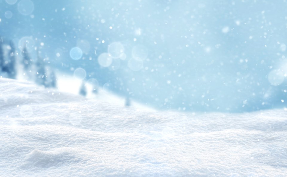
True Arctic air has arrived in the Lower Mainland, which marks the first time the extreme cold has done so this season.
In late October 2020, Metro Vancouver saw temperatures dip a few degrees below zero when modified Arctic air entered the region, but it wasn't as cold as it is now, nor was it true Arctic air.
Now, Vancouver will continue to see its coldest temperatures of the season, along with the possibility for a significant snow event this weekend.
Clash of the titans! Arctic air firmly entrenched over BC, including coastal areas, will battle pacific moisture beginning on the evening of Friday February 12, 2021. The expected outcome? Low elevation snowfall event! Stay tuned to your local forecast for details. ❄️#BCstorm pic.twitter.com/hITBYSl0cT
— ECCC Weather British Columbia (@ECCCWeatherBC) February 11, 2021
Armel Castellan, a meteorologist with Environment Canada, tells Vancouver Is Awesome in a phone interview strong winds will make temperatures feel drastically colder for locals over the next couple of days, which is why the department issued an Arctic outflow warning.
Rising surface pressures over the B.C. interior continue to drive arctic air through mainland valleys and inlets this week, which is causing the frigid lows.
Wind chill values ranging from minus 15 to minus 25
Beginning tonight, frigid temperatures and stronger outflow winds are expected. Wind chill values ranging from minus 15 to minus 25 are expected tonight and Thursday night.
"Saturday is when things will be really messy because that's when we have lots of moisture come in to play. We will still have plenty of wind funnelling in from Hope to the Fraser Valley, as well as the snow accumulation," he explains.
Castellan adds, however, that there will likely be a delayed start to the snow event, which is expected to commence Friday night. "Because the Arctic outflow is so dry--it's cold, dense air but it's super dry--it's drying out the lowest levels of the atmosphere and it's going to be hard for snow coming from above to saturate enough to stay as snow."
As a result, the snow may take some time to start sticking to the ground, which would mean a delayed start. However, snow is forecast to continue from Friday through Saturday.
Locals are advised to minimize exposed skin with hats, scarves and mittens or gloves. Ensure that shelter is provided for pets and outdoor animals.
Temperatures will begin to rebound over the weekend.


