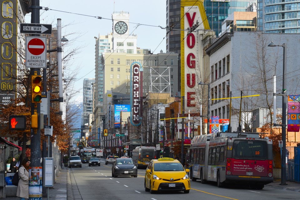
Winter warmth in Canada isn't a usual discussion, but this week Vancouver has been breaking heat records.
"On Monday (Jan. 29) there were numerous records broken, not just for the Lower Mainland, but across B.C.," says Environment Canada warning preparedness meteorologist Lisa Erven.
Some records broken were only around 30 years old, while others went back more than half a century, including Vancouver.
"Vancouver International Airport recorded a max daytime high of 14.3 C that beat the old record of 13.3 C set back in 1940," she tells V.I.A.
West Vancouver blew away its old record from 1998 by more than 3 degrees as it hit 17.3 C. And Abbotsford reached 18.2 C, beating the old record of 15.6 C set in 1960.
And more may fall; Vancouver's daily high records for Jan. 30 and 31 are in the mid-14 C range.
"We're in the ballpark today and tomorrow," says Erven, noting that if Vancouver hits 14.5 C on Jan 30 it'll break an almost 90-year-old record.
Warm weather may be pleasant, but not great for snow
While some in the city may be enjoying the temperatures at sea level, in the mountains it means a season already sparse in snow is seeing what's around melt as freezing levels rise.
"It's certainly been a really challenging forecast given we do have a low snowpack right across the province," says Erven.
While mid-January saw a burst of snow and arctic temperatures, it's been balanced out in the Lower Mainland by several days of high temperatures for the season.
"Speaking to the broader weather story, it really started all the way back in November and December," says Erven. "Those are critical months for starting to have colder temperatures,"
While November was cool, the region only saw about 60 per cent of its regular precipitation. And while precipitation returned the next month, it was also the warmest December ever recorded in Vancouver.
"Many of those [winter] storms came with warm temperatures and higher freezing levels," Even notes. "The ingredients you need for snowfall in the mid and lower levels of the mountains haven't been coming together."
And now, with even more warm, sub-tropical storms brought by the current Pineapple Express, the snowpack is being hit again.
"It's not only the elevated daytime highs, but we've seen the overnight temperatures remaining quite mild," explains Erven. "For instance, for Vancouver International Airport the overnight temperatures have remained in the 8-to-9 degree, almost 10 [degree] range."
"That warmth is persisting in the overnight hours when we might expect a cool down."
Forecast
While the winter heat wave will remain for the next couple of days, it appears to have peaked. Erven notes that with another rain storm still coming temperatures may not reach the same heights again as the precipitation could keep things a couple of degrees cooler.
"It's bringing with them a more tropical air mass and that's why we're seeing these record-breaking temperatures set," she says.
Once that parade of storms ends, so will the unusually warm weather, with things returning closer to the seasonal normals (around 7 C) this weekend.
"We'll return to what is more seasonal for this time of year come Saturday," says Erven.
Stay up-to-date with hyperlocal forecasts across 50 neighbourhoods in the Lower Mainland with V.I.A.'s Weatherhood.


