
Following an epic display of thunderstorms on Wednesday, March 27, the Metro Vancouver forecast includes the possibility for more stormy weather before conditions ease.
Environment Canada meteorologist Armel Castellan told V.I.A. that lightning occurs in coastal B.C. every month of the year but isn't as noticeable over the winter because it is embedded in other weather systems.
The shoulder seasons — the spring and the fall — are the best for viewing lightning displays because a cold upper atmosphere can mix with a ground surface warmed by significant daytime sun.
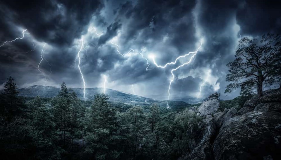
But this thunderstorm was particularly productive — even for a spring storm.
Castellan said lightning struck the Canadian airspace 61 times over Metro Vancouver. In the 50 km outside of the Vancouver International Airport (YVR), there were 93 flashes in areas south of the border in Washington, such as Anacortes and Bellingham.
Lightning strikes were recorded at the YVR 19 times.
"The overall flavour is [the strikes were visible] in the neighbourhood," he noted. "The [strikes] in Bellingham would be seen by people in White Rock and Abbotsford."
The thunderstorm's epicentre was over Saturna Island but "isolated cells were firing around the Salish Sea" and across the Lower Mainland.
Castellan added that many of the strikes were powerful "cloud to ground" strikes, which are particularly dangerous.
Lightning causes as many as 10 deaths and over 150 injuries annually in Canada. If you hear thunder or see lightning, take shelter immediately.
Is there another potential for thunderstorms in the Metro Vancouver weather forecast?
On Thursday, March 28, locals should brace for potential thunderstorms starting around 2 p.m. and through the evening until about 9 p.m.
Castellan says thunderstorms are more likely once significant daytime heating has heated the ground and mixes with a cooler upper atmosphere, creating unstable conditions.
Four key elements need to be present for thunderstorms to occur.
Tempest triggers can be characterized under the acronym MIST:
- Moisture: Some moisture needs to be present in the atmosphere, although there doesn't need to be rain and significant clouds
- Instability: A warm ground and colder atmosphere
- Shear: There must be different intensities of wind in different levels of the atmosphere
- Trigger: Also known as a "lifting mechanism," the trigger can include numerous elements, including terrain (many thunderstorms develop in the mountains).
While there is a risk of thunderstorms, it is hard to say whether Thursday's display will include multiple lightning strikes.
"Sometimes we have a risk of thunderstorms and then there is only [one strike]," Castellan explained. "Other times we have the risk of thunderstorms we have 50 to 60."
The stormy weather should subside overnight and there is only a chance of showers Friday. Locals should enjoy temperatures a few degrees above seasonal averages and clear skies on Saturday and Sunday.
Monday is also looking dry but showery, cooler weather is expected to make its way into the forecast again by Tuesday.
Stay up-to-date with hyperlocal forecasts across 50 neighbourhoods in the Lower Mainland with V.I.A.'s Weatherhood.

