
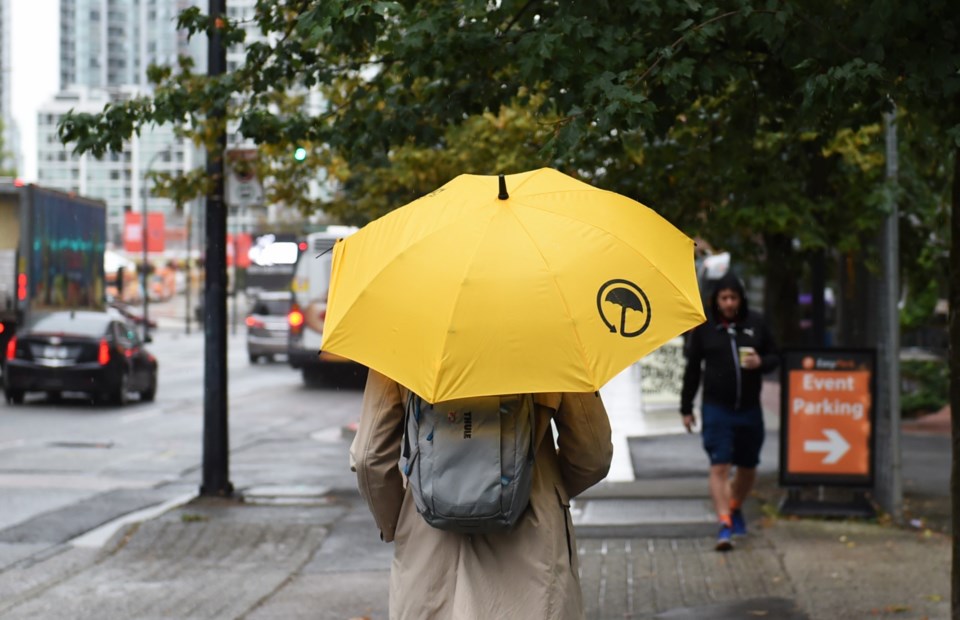
The Pineapple Express from this weekend will continue into the beginning of this week according to Environment Canada.
Philippe-Alain Bergeron, a meteorologist with the federal agency, says Vancouver will be "embroiled with an atmospheric river for the next few days" with temperatures forecast to be 5 to 10 degrees above normal and waves of rain stormy weather arriving on the coast.
"There's not a major low-pressure system, it's just this series of little waves or little fronts," he explains.
That means instead of a large rain event like the atmospheric river that hit the region in November of 2021, this will include heavy periods of rain, but with little breaks in between.
Also, luckily for Vancouver, the major rain events will be hitting Vancouver Island and the Sunshine Coast, with Vancouver only getting the edge of things, most of the time.
That means the rain will let up at points, but return later in the day, at night, or the next morning, for the next few days. Bergeron expects things to calm down by late Wednesday, Jan. 31.
"That's still several days away, but beyond that we should be done with these systems," he says, adding that it looks like things may finally return to normal in Vancouver, but that he can't promise that.
Rain amounts in Vancouver will range between 14 and 21 mm per day, according to Weatherhood.
As these systems are originating from the east Pacific with a large moisture plum near Hawaii, there's also plenty of warm air coming with the rain, with temperatures potentially hitting 14 C in Vancouver, nearing record highs for this time of year.
Bergeron expects to see lots of melting on regional mountains at the 1,000 m to 1,200 m range with rain falling further up; the freezing level will be around 2,000 m.
"For the local (ski) hills it's terrible," he says.
The ski hills nearest Vancouver are all in the 900 m to 1,400 m range. Whistler sits about 2,200 m above sea level and Bergeron says even there a mixture of rain and snow may fall.
"Once we get through this, hopefully there's a better scenario near the end of the week," Bergeron says. "We should be cooling several degrees back to normal."


