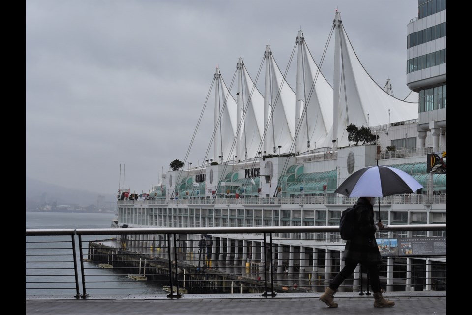
Vancouverites woke up to sunshine on Monday, April 29, but stormy weather could be in the cards later this afternoon.
V.I.A.'s Downtown Centre Weatherhood station includes a high of 10 C and a low of 5 C with about a 50 per cent chance of some light showers (see slide two).
Other neighbourhoods in Vancouver show similar weather with slight temperature variations. For example, temperatures could climb to 12 C in the Trout Lake area and Granville Island. The Hastings-Sunrise area is expected to reach a high of 13 C.
According to Environment Canada, there is a risk of thunderstorms late this afternoon in the region.
While temperatures are expected to be a bit warmer in the downtown area on Tuesday, there is also a chance of some wet weather in the morning and later at night.
Temperatures are expected to keep climbing into the mid-way point of the week, with Wednesday's forecast showing a high of 13 C.
By Friday, temperatures in the downtown core are expected to reach a high of 16 C.
Wet weather could return for the weekend, with rainfall amounts of 16 mm and 21 mm expected on Saturday and Sunday.
Environment Canada's current spring and summer forecast includes a warmer-than-average signal from May through September.
Stay up-to-date with hyperlocal forecasts across 50 neighbourhoods in the Lower Mainland with V.I.A.'s Weatherhood.