
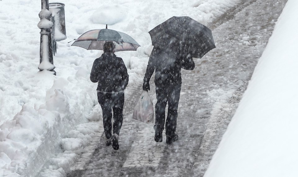
The Metro Vancouver weather forecast includes a "wintry mix of precipitation" this week.
Environment Canada issued a special weather statement early Monday morning (Feb. 26), calling for rain mixed with snow to start falling Tuesday evening.
Before the stormy weather commences, V.I.A.'s Downtown Centre Weatherhood station shows bright sunshine and a high of 6 C with a low of 2 C to kick off the week on Monday.
Temperatures are expected to fall several degrees by Tuesday, with a high of 3 C and an overnight low of 1 C expected.
Most parts of the region will experience snow levels "hovering near the surface" and snowfall accumulations will vary dramatically based on elevation and proximity to the water, according to the weather alert.
A warming southwesterly flow aloft is expected to cause snow levels to rise overnight Tuesday, shifting the mixed precipitation to "moderate or heavy rain."
There is a risk of freezing rain in the Fraser Valley as the "warm air overrides the cold air" during the transition phase.
Metro Vancouver weather forecast
Places at much higher elevations, including Whistler and the Sea to Sky Highway, should experience snowfall instead of mixed precipitation on Tuesday evening. However, it is expected to transition to rain by Wednesday afternoon.
"Moderate to heavy precipitation will ease across the region late Wednesday with the passage of the system," adds Environment Canada.
A snowfall warning may be issued closer to the event depending on how conditions evolve.
While Wednesday is expected to see warmer temperatures and rain, Thursday may see a shift back to frosty weather. The Downtown Centre station shows a 91 per cent chance of some flurries, although there would be minimal accumulation of precipitation (under 0.05 mm).
Stay up-to-date with hyperlocal forecasts across 50 neighbourhoods in the Lower Mainland with Weatherhood.


