 Photo: Drive BC / Twitter
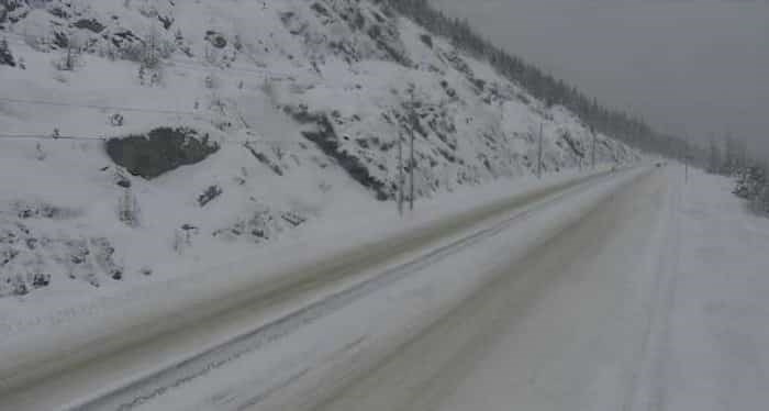
Winter is coming to high mountain passes.
Environment Canada meteorologist Doug Lundquist tells Castanet: "It is going to be a big change for us. We've had almost a month of warmer than normal weather, and now with a cold air mass moving in from the Yukon and Northwest Territories, it's going to be a big shift."
Lundquist says it's tough to predict exactly where the snow will fly. Weather models indicate some areas could receive heavy showers and precipitation while others nearby, virtually nothing.
"This time, the air mass is much cooler, so it'll come down as snow. We could see anywhere from a few centimetres to maybe 10 or more," says Lundquist.
Environment Canada will begin issuing snowfall warnings in the north, but Lundquist notes: "This is my advanced notice, so you get the message out for us."
There could be significant snow at higher elevations everywhere in Southern B.C. including the Coquihalla, Okanagan Connector, Paulsen Summitt, Kootenay Pass, and Rogers Pass.
"We're likely going to see white on many of our mountains, especially where those heavier weather cells manage to go. If I were heading to the coast or Alberta, I would get my winter tires on early," says Lundquist.
He also warns farmers there could be frost Saturday and Sunday, "so take care to try and harvest what you can. There is the possibility of frost even in the valley."
It may be a false start to winter, but Lundquist says there is the chance we could get another bout of cold air towards next weekend.
"The longer-term is cool and unsettled for the next week to 10 days."