
By Rob Gibson
Environment Canada has issued another snowfall warning, which includes the Okanagan Valley, Kelowna, and Vernon, as a long period of snowfall is expected.
An approaching Pacific warm front will bring snow, heavy at times to the central and north Okanagan today through tonight. Total accumulations of near 15 cm are expected with local amounts up to 25 cm possible near West Kelowna and Westbank. Snow will change to a few showers on Tuesday as warmer air moves into the region.
Environment Canada has also issued a winter storm warning for the Okanagan Connector - Merritt to Kelowna, hazardous winter conditions are expected for:
- Coquihalla Highway - Hope to Merritt
- Highway 3 - Hope to Princeton via Allison Pass
- Okanagan Connector - Merritt to Kelowna
- Trans-Canada Highway - Eagle Pass to Rogers Pass
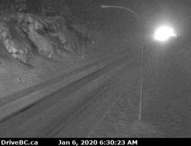
Prepare for quickly changing and deteriorating travel conditions. You're advised to check DriveBC and Castanet for the latest conditions if you plan to be in the region.
Additionally, Environment Canada has issued a winter storm warning for the Sea to Sky Highway between Squamish and Whistler.
Total snowfall accumulations of up to 30 cm are expected by Tuesday morning in the Sea to Sky region. The snow should change over to rain Tuesday as warmer air moves in from the south, says the weather agency.
Consider postponing non-essential travel until conditions improve, advises Environment Canada. Visibility may be suddenly reduced at times in heavy snow. Take extra care when walking or driving in affected areas.
With additional reporting from Vancouver Is Awesome

