
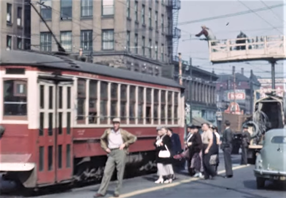
A video from 1950 captures what driving around Vancouver's core looked like more than 70 years ago.
The film shows a good chunk of a streetcar's trip on the Fairview Belt Interurban Line, which used to travel through the city.
The video gives a good view of what traffic looked like on some of the city's major roads, including Main Street towards Hastings Street, Hastings west from Main to Cambie, and then back south on Cambie.
There's also a clip heading west on Hastings towards Granville, with the Marine Building an imposing figure ahead.
An extended clip going south on Granville shows just how much the city has changed, notable as it comes the to southern end of the downtown peninsula with a view of Fairview in the distance.
It even crosses the old Granville Street bridge and goes into suburbia, an area not often caught on film. Strikingly, not only is there a lack of development, but there are fewer and smaller trees than these days.
The film has been uploaded to YouTube by the channel Old Canada; the original is with the Vancouver Archives.


