
Our hazy days of early September continue on as the new week gets underway in Metro Vancouver, though today's forecast comes with a bit of a plot twist.
Environment Canada has extended its Air Quality Advisory issued Saturday for the region, noting that on Monday (Sept. 12) "smoke is causing poor air quality and reducing visibility."
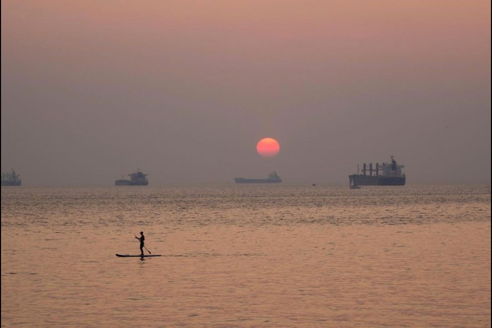
Smoke from wildfires in B.C. and the United States has led to high concentrations of fine particulate matter in the skies over Metro Vancouver and the Fraser Valley. Those B.C. fires are burning southeast of Chilliwack and Hope, including two fires near Manning Park (Heather Lake) and Hope (Flood Falls Trail), while winds from the south have carried up smoke from fires in Washington and Oregon states.
"Today, it is expected that air quality in some areas of the region may further degrade while other areas may improve," notes Environment Canada's alert.
However, we should see some clearing in the region starting at the coast and moving inland, beginning Monday evening and into Tuesday.
Due to shifting winds, temperature variances, and wildfire behaviour, however, "smoke concentrations may vary widely across the region."
Rain, a thunderstorm possible Monday morning
Monday begins with a 30 per cent chance of showers and a risk of a thunderstorm, according to Environment Canada.
Those clouds are expected to move along, taking with them the chance of rain, with clearing likely later Monday morning. The high will be 21C by the coast and 24C inland.
As the week continues, we should see a mix of sun and cloud through Thursday before the arrival of slightly cooler temps and the chance of showers once again.
Some Vancouver residents reported seeing flashes in the sky at around 5:40 a.m. Monday. Those were likely the far away bolts from a band of thunderstorms that occurred on the East Coast of Vancouver Island over Nanaimo and Duncan and were reflected across the Georgia Strait according to meteorologist Derek Lee of Environment Canada.
Alternatively, according to Lee, it could have been lightning picked up by the clouds over the Strait. These kinds of flashes are often referred to as heat lightning, which means the lightning is so distant that you can't hear the thunder or see the ground flash.


