
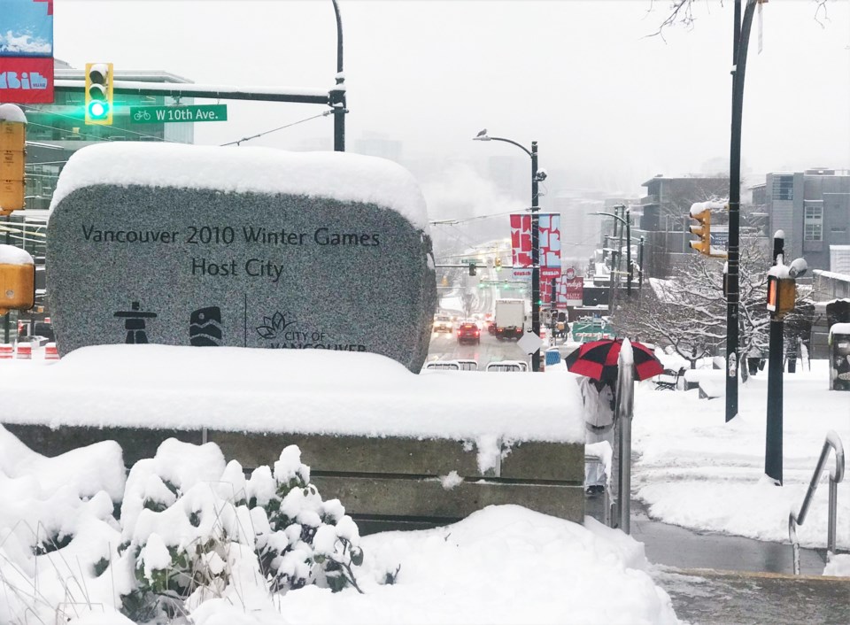
Environment Canada is expecting classic winter weather in Vancouver this week.
While daily highs will be just below the usual for this time of year (7.5 C), lows are going to fluctuate from 2 C to -5 C. Along with that cold air comes precipitation which will fall as snow at times.
In their forecast, the federal agency is predicting snowfall or flurries every day of the week.
The week will start with what will likely be the nicest day of the week; Monday, Nov. 28 will see a high of 4 C with a 30 per cent chance of flurries in the morning. There will be a bit of a breeze, too, during the warmest part of the day (late morning and afternoon) which will keep it feeling cold.
However, temperatures are expected to drop significantly from a high in the late afternoon to an overnight low of -4 C. The skies should remain clear through most of the night, but Tuesday comes with clouds and a 70 per cent chance of snow. Throughout the day, temperatures will hover around 0 C, so what snow does fall may stick for a while.
Wednesday is expected to be the warmest day of the week, with a high of 5 C, but snow and rain are expected through the day and into the evening when temperatures fall to 2 C.
Thursday should get to 3 C, but things will quickly cool off as a low of -5 C is expected that night. And that's the beginning of the more wintery weather, as more snow is expected Thursday night, followed by a Friday that's predicted to peak at 1 C before dropping back to -4 C.
Snow is expected to fall throughout Friday and over night.
While Vancouver may wake to a weekend winter wonderland, the forecast currently says it'll reach a high of 2 C with flurries and showers, which may melt some of the accumulated snow.


