
The BMO Vancouver Marathon has sold out space in the annual race with more than 22,000 runners participating.
With the full marathon covering over 42 km around the city, there will be several streets blocked off (fully or partially), detours set up, and places where the public may come across runners on Sunday, May 5.
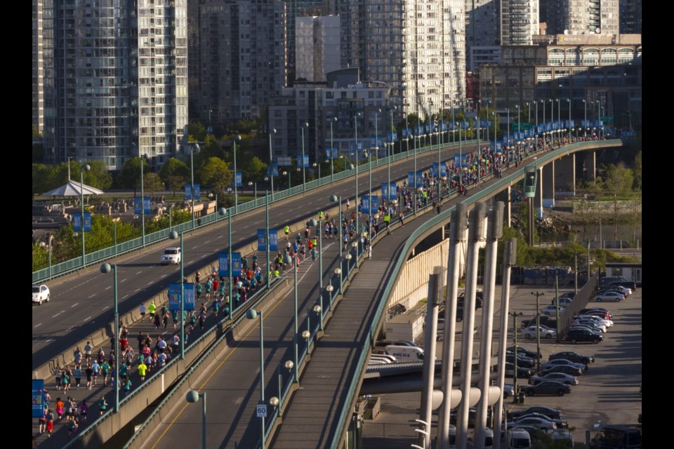
At the same time, the half-marathon, itself more than 21 km, will cut a path through the city.
Due to the pair of races, the list of detours for Vancouver streets is extensive, especially on Sunday morning (though the race start area on Midlothian Avenue on the northeast border of Queen Elizabeth Park will be closed starting Saturday evening).
While the marathon will mostly affect street traffic, the seawall around Stanley Park will be closed to cyclists and pedestrians from 9 a.m. to 1 p.m. on Sunday.
Closures along the route are not uniform in when they occur or which lanes are closed. For many streets, only one direction will be closed.
The half-marathon starts at 7 a.m., triggering the first traffic impacts (which will end earlier than those set up for the full race).
The full marathon starts at 8:30 a.m.
Detours and closures are timed to align with the course; for example, streets at the start will close and open before those at the end. The finish area will be closed until 6 p.m.
BMO Vancouver Marathon route
In general, the full marathon will be blocking streets along its route which starts at Queen Elizabeth Park, goes south on Cambie Street to West 49th Avenue, and heads towards Pacific Spirit Park. At Pacific Spirit Park's eastern edge, the rout heads north (initially on Camosun Street and staying along the edge of the park) until West 16th Avenue.
From there, the route heads into UBC until it gets to Southwest Marine Drive and goes north along the streets closest to the ocean for quite a distance (through UBC, along Spanish Banks Beach, around Jericho Beach Park, and then back up to the coast to Point Grey Road, then Cornwall Avenue).
The route continues along the coastline north on Arbutus Street at Kitsilano Beach and around past Vanier Park and then on to Burrard Street, across the bridge, and taking a left on Pacific Street.
As Pacific becomes Beach Street, the race will move down to the seawall, where it'll remain until the north end of Denman Street, which runners will take down to West Georgia Street; there they'll remain on the sidewalk and the roadway will remain open to vehicles.
Racers will head down West Hastings where the street splits from West Georgia and the finish area will be between Bute and Thurlow, with closures on West Hastings and West Pender.
BMO Vancouver Half-Marathon route
The half-marathon route will also mean street closures on Sunday morning, though it starts earlier (7 a.m.).
The racers will initially head north from Queen Elizabeth Park on Cambie Street and over the bridge to Pacific Boulevard, which they'll take around False Creek, past Science World to West First Avenue, looping back north on Quebec Street and up to West Pender Street.
The route then heads southwest through Yaletown along Homer and then Hamilton streets back to Pacific Boulevard. From there runners will make their way near the coast on Beach Avenue until they link up with the full marathon route and head into Stanley Park.
Map of detours
The slides above show the route, closures, and suggested detours for both the full and half marathons.
For a detailed written list of the detours, check the BMO Vancouver Marathon detour page.
Public transit and the BMO Vancouver Marathon
TransLink's Buzzer Blog outlines not only how to use transit to get to the BMO Vancouver Marathon route but also which bus routes are affected by the road closures and detours.


