
Canada's national weather forecaster warns locals to brace for some exceptionally cold weather this weekend.
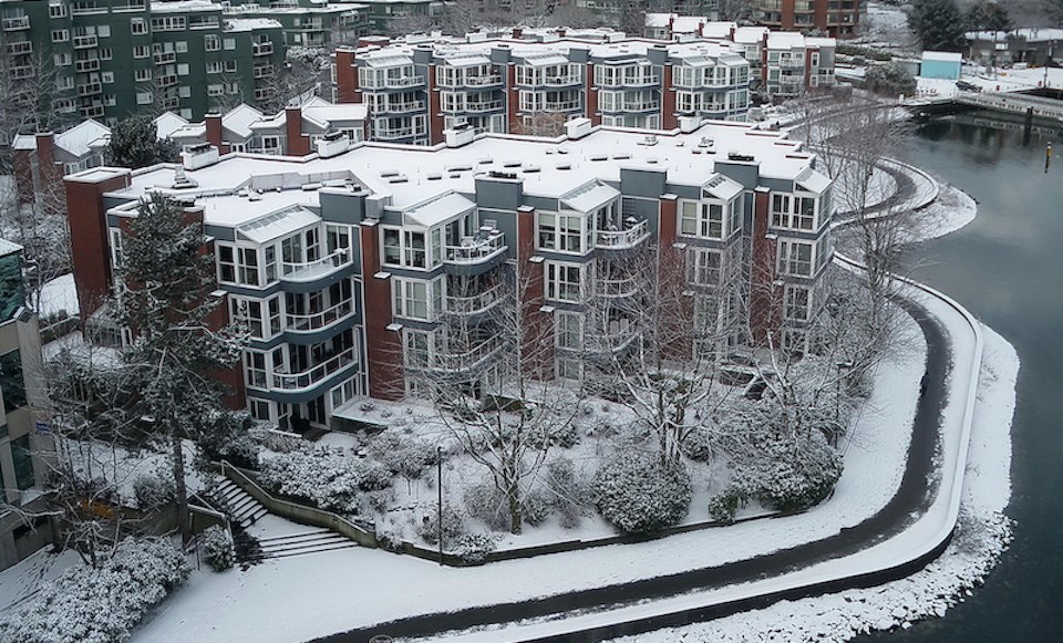
Depending on temperature and elevation, there may be light flurries or showers in Metro Vancouver on Saturday (Dec. 17), with 2 cm to 4 cm of snowfall expected at higher terrain, according to Environment Canada's special weather statement.
Strong outflow winds are also expected to accompany the "wintry mix of precipitation," making frigid lows feel even colder with windchill.
As a bone-chilling Arctic front moves from the B.C. interior across the south coast, there will be a "period of heavy flurries" in the Lower Mainland. However, there is still significant "uncertainty" about the timing of the snow event.
While some models indicate total snowfall amounts to around 10 cm for the Fraser Valley, Howe Sound, Whistler, and the Sea to Sky highway, there may be close to 5 cm in Metro Vancouver.
As the Arctic front passes through the region Sunday, strong outflow winds will bring temperatures down 5 C to 10 C below the seasonal average.
Environment Canada urges commuters to prepare for hazardous driving conditions and not to drive without snow tires.
Locals should also check their water pipes during the cold snap.
Beginning this weekend, the "coldest air on Earth" will make its way across Alaska, down through the Yukon, and into southern British Columbia.


