
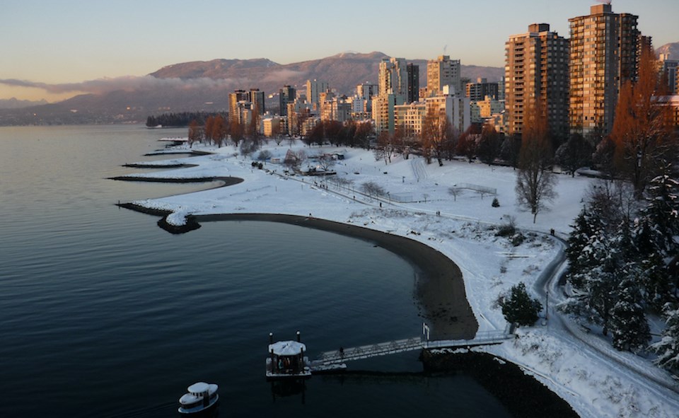
After being pummelled with multiple atmospheric rivers over the past week, Metro Vancouverites should prepare for cold temperatures in the region.
While there is a great deal of uncertainty in next week's forecast, Environment Canada is calling for a drop in temperatures over the weekend and even a possibility of snowfall.
Before that happens, however, another storm is expected to bring substantial rainfall into the Lower Mainland starting Thursday (Nov. 3) and continuing through Friday, Environment Canada meteorologist Alyssa Charbonneau told Vancouver Is Awesome. The stormy pattern will arrive after a brief respite from the wet weather on Tuesday and Wednesday.
On Saturday, the heavy rain is expected to subside as temperatures drop overnight to 1 C or 2 C. As the temperatures fall, there is a potential for wet flurries at higher elevations. Places at sea level are not expected to see snowfall but will likely have some very cold rainfall due to the frigid weather, explains Charbonneau.
Looking ahead at the Metro Vancouver weather forecast
Heading into next week, the meteorologist says some of the forecast models are predicting a very cold pattern to move into the region while others do not. As such, the forecast is "quite uncertain" beyond the weekend, though you may be seeing that snowflake icon on your iPhone weather app for some days a week or more out.
"What does seem reasonable is a shift to a cooler pattern starting Saturday onward," Charbonneau noted.
Looking ahead to the winter season, the long-term forecast isn't clear. While there is a seasonal forecast for the next three months that includes October, November, and December, the first half of October's unseasonably hot weather has skewed the average.
In a recent update, the National Oceanic and Atmospheric Administration (NOAA) called for a 75 per cent chance that La Niña will be present this winter and won't change to a "neutral" weather pattern until about February.
Typically, La Niña's impact on southern B.C. doesn't start to show until the late fall or early winter. But it does tend to produce cooler than normal conditions and snowier conditions over the mountains.


