
Metro Vancouverites should brace for a potentially potent winter storm with ample rainfall this weekend.
Environment Canada meteorologist Alyssa Charbonneau told V.I.A. that moisture from the Hawaiian Islands has started making its way across the Pacific and will likely hit the B.C. coast on Saturday, Jan. 27 -- but locals shouldn't exactly hold their breath.
While all of the weather models indicate that a storm system is heading to B.C., the exact timing, strength, and duration of the event remain uncertain.
"It's still a few days out," she cautioned.
There is also a chance the system could miss the region entirely.
Atmospheric rivers are "narrow bands of heavy precipitation" that track north and south, meaning they only have to change course slightly and could miss a region entirely. In these instances, they may also hit areas they were previously expected to miss, Charbonneau explained.
Although it will include a series of storms, the national weather forecaster is characterizing the event as a "long atmospheric river" with heavy rainfall; the tempestuous weather could last until Tuesday or so, too.
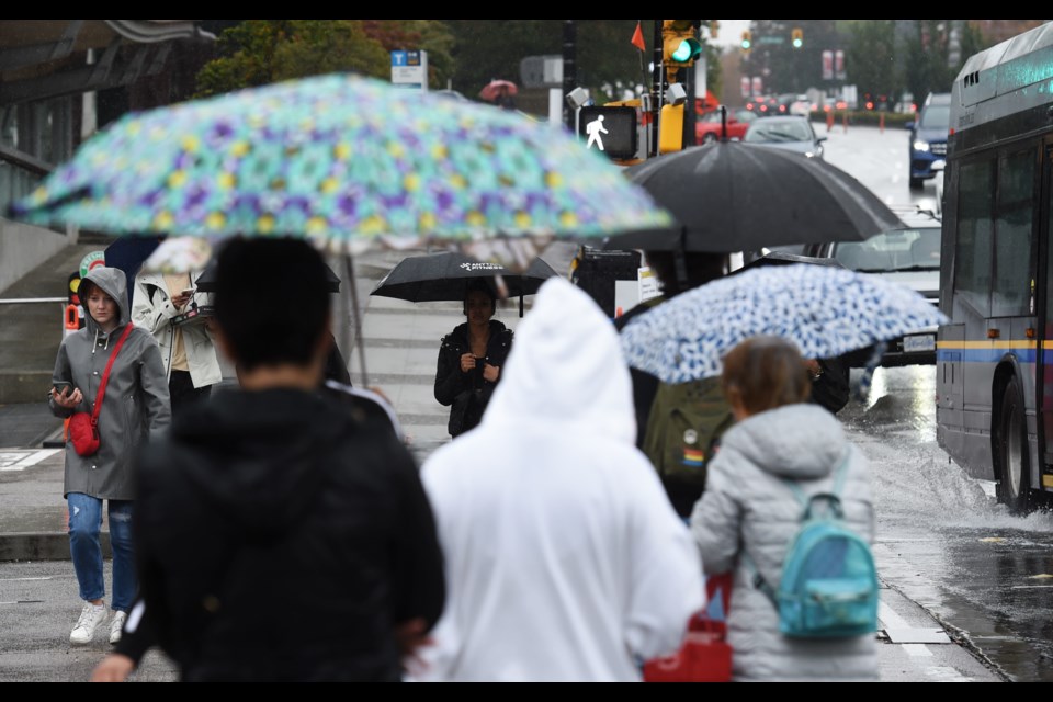
Metro Vancouver weather forecast includes a potentially potent atmospheric river
While atmospheric rivers can wreak devastation, such as the floods of November 2021, most of them aren't destructive. They also aren't rare, with the Lower Mainland seeing anywhere from 20 to 30 of them annually.
But this weekend's wet weather poses a risk of flooding and hazardous travel conditions in the region.
"This is one of the strongest atmospheric rivers this winter," Charbonneau said. "It's a multi-day duration event with heavy rainfall and high freezing levels."
Environment Canada meteorologist Derek Lee told V.I.A. that temperatures could also climb as high as 13 C starting on Sunday or Monday.
Since temperatures will climb to daytime highs above double the seasonal average, freezing levels will soar, resulting in a significant thaw in the local mountains. The melting snow and ice will contribute to the risk of flooding.
The storm is tracking toward Vancouver Island and the B.C. coast but all of the Lower Mainland should expect to see impacts from it.
Charbonneau advises locals to stock their emergency kits, clear their storm drains, and exercise caution if they plan to drive during the wet weather.
Keep up-to-date with the atmospheric river changes in your Metro Vancouver neighbourhood's weather through Weatherhood.


