
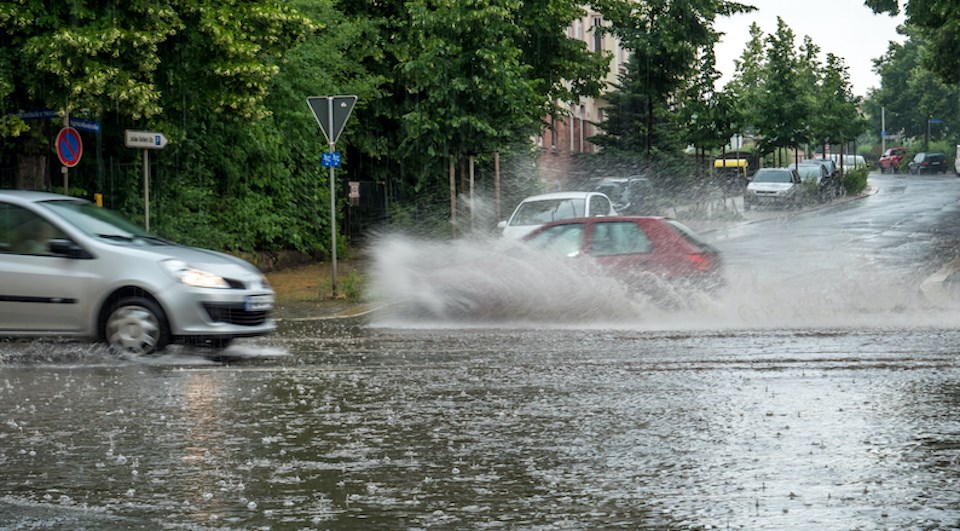
The Metro Vancouver weather forecast includes a strong likelihood of an atmospheric river -- and one that is known as a "Pineapple Express" because of its origins.
But that moniker could evaporate before the system makes an impact on the B.C. coast -- even if the precipitation doesn't follow suit.
Pineapple Expresses are atmospheric rivers that develop near Hawaii, known for bringing balmy temperatures and abundant rainfall to the Pacific Northwest.
Environment Canada expects the storm system to continue on its current path, however, the wet weather may travel through a different area before it arrives on the B.C. coast.
Meteorologist Derek Lee told V.I.A. that the national weather forecast is characterizing the storm system as a "tropical moisture feed," rather than a Pineapple Express.
Since the storm won't impact B.C. for a few days, it might start to track further north. Regardless, Metro Vancouver should see daytime highs soar over double the seasonal average, climbing to 13 C on Sunday (Jan. 28), and Monday; the seasonal daytime high is around 6 C.
"They may end up breaking temperature records," he noted.
Environment Canada meteorologist Alyssa Charbonneau added V.I.A. that the event will likely hit the B.C. coast on Saturday - but locals shouldn't exactly hold their breath.
While all of the weather models indicate that a storm system is heading to B.C., the exact timing, potency, and duration of the event remain uncertain.
Warm Metro Vancouver weather forecast caused by multiple factors
The mild temperatures the Lower Mainland will likely see aren't caused solely by the warm weather system. The region is also influenced by the presence of El Niño, which typically causes above-average temperatures over the winter.
But Environment Canada won't discuss how the weather phenomenon hasn't impacted the local climate until the end of winter, Lee noted.
In January, for example, the temperatures might work out around the seasonal average. However, the month is better characterized as a "season of extremes" with record-breaking cold and snow, as well as some potentially record-breaking warm weather in the week ahead.
January had been tracking to be significantly colder than average after the region experienced one of the warmest Decembers on record.
Looking forward, February has a 40 to 50 per cent likelihood of seeing warmer-than-average temperatures,
Before that, the final few days of January, following the expected atmospheric river, from Tuesday onward should be wet with temperatures closer to the seasonal average.
Keep up-to-date with the atmospheric river changes in your Metro Vancouver neighbourhood's weather through Weatherhood.


