
Environment Canada has a few opportunities for snowfall included in next week's Metro Vancouver weather forecast.
Ahead of the possible snowfall, locals face a potent blast of Arctic air that should bring temperatures several degrees below -10 C starting Thursday night (Jan. 11). An outflow warning has been issued as strong winds gusting up to 60 km/h may make temperatures feel as cold as -20 C.
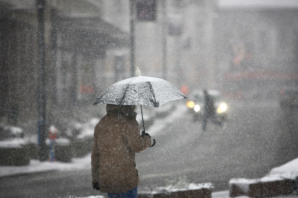
People should dress warmly and stay dry as the dangerous cold can cause frostbite and hypothermia. Frostbite can occur on exposed skin within minutes.
While Sunday's forecast doesn't include any flurries, snow may start to fall in parts of Metro Vancouver on Monday during the day.
Environment Canada meteorologist Armel Castellan told V.I.A. in a previous interview that cold weather events associated with arctic air create the ideal conditions for snow in places at sea level. To receive snowfall, the freezing temperatures need to be matched with some Pacific moisture.
The deep freeze should begin to warm on Saturday, with Sunday's daytime high reaching the freezing mark. A northwesterly flow is expected to bring moisture to the region at the start of next week but the timing of the event is uncertain.
There is a 30 per cent chance of flurries during the day Monday and a 40 per cent chance at night.
Tuesday and Wednesday may also see some white stuff, with periods of rain or snow expected on both days.
Find out everything you need to know about travel during the cold weather event in B.C. and beyond.


