
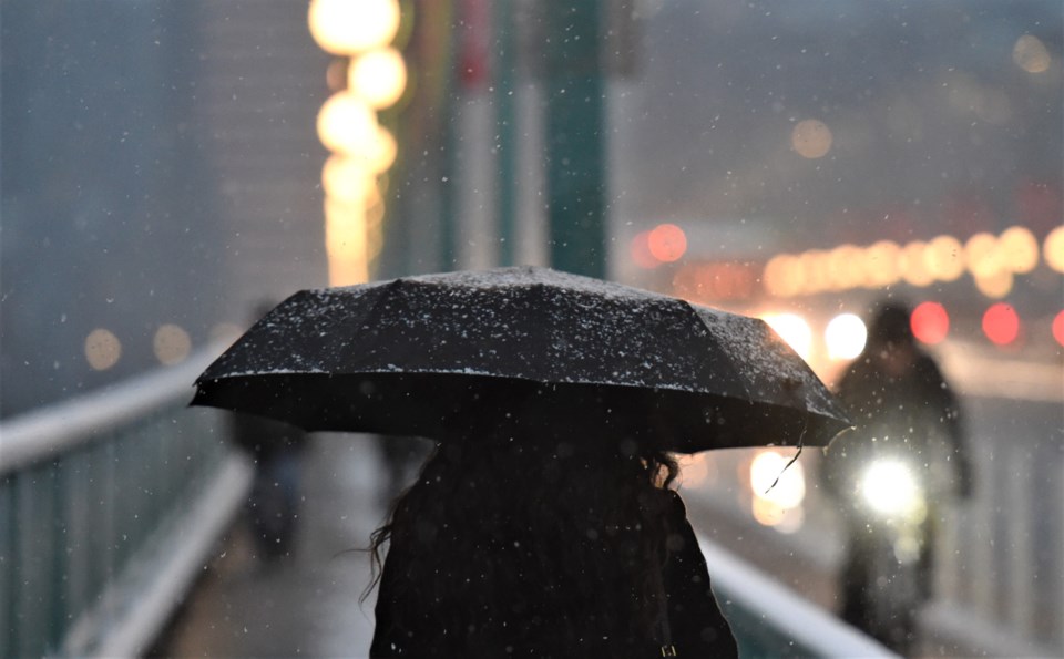
There's no doubt Vancouver will be getting colder over the next week.
At the same time, there's going to be plenty of precipitation coming in the next few days. However, Armel Castellan, a warning preparedness meteorologist with Environment Canada, says while there's a chance snow could fall in Vancouver, it's difficult to predict right now. If it does, it will most likely happen on Monday night, Feb. 26, or Tuesday morning.
"It's something on the horizon that we're tracking to see how the conditions would be both in the interior and on the south coast," he notes.
The issue is the type of system that's approaching the Lower Mainland.
Why 'you can never trust a northwesterly flow'
There's no Arctic air coming from the interior. Instead, it's a couple of "pulses" moving down the northwest coast, Castellan explains. They have the potential to drop the freezing level down to nearly sea level, but it's difficult to say if and when that might happen due to how active the weather is.
"You can never trust a northwesterly flow, it comes from a lot of potential activity," he explains. "Until you see the whites of its eyes...you cannot make any deterministic statements this early."
Normally, when snow arrives in Vancouver (like in January) it's because cold air from the interior (originating from further north or east) hits the moist air on the coast.
This time it's a cooler system from the Alaskan panhandle moving south.
It also means it could snow in very specific areas, but not others, as the rainfall could be the cause of the cooling in an area; it's called adiabatic cooling.
"It creates localized areas where the snow can reach lower," Castellan explains. "You could imagine in a big burst of rain or snow, that it could temporarily create flakes that even could accumulate down to sea level."
He adds that Environment Canada is monitoring the situation in Vancouver and may issue a special weather statement about snow in the area on Saturday if models show snow is more certain.
What is more likely are stronger winds than we have seen lately.
Travellers beware: Snow could wreak havoc on roads in B.C.'s Interior
While Vancouver may not get snow, Castellan notes that high-altitude areas in the interior are more likely, which could pose an issue for people travelling on highways with high mountain passes.
He highlights the Coquihalla, Kootenay Pass, and potentially Rogers Pass as potential problem areas. With the wind and precipitation, there's a chance for blowing snow and reduced visibility.
"This is the flavour of this snow event," he says, noting it is a more pressing concern for the Kootenays up towards the North Rockies and a little bit in the Coast Mountains.
He advises anyone driving in the interior early next week to be aware of the conditions via DriveBC.
"Keep track of the potential Environment Canada alerts that could be issued with either or both of these storm patterns," he says.
At the same time, he doesn't want to give the impression that this stormy weather will make up for the lack of snow this winter.
"We're not going to make up the snow deficit in the next few weeks," he warns. "It's a small boost to the snow, it's not reducing the environmental need for a healthy snow pack."
Even in the cooler interior communities, the snow may not fall at the valley bottoms, like where Nelson or Kamloops are situated.
"There's a nuance here."
Stay up-to-date with hyperlocal forecasts across 50 neighbourhoods in the Lower Mainland with Weatherhood.


