
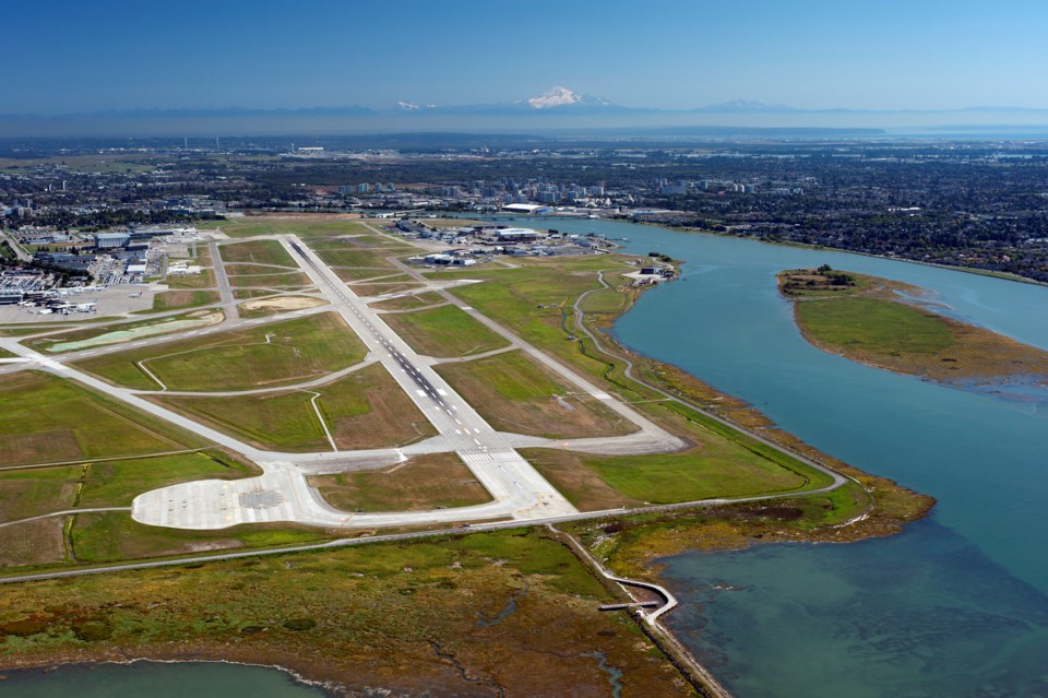
A specialized helicopter will be flying over part of Richmond starting this week as part of Vancouver International Airport survey project.
The helicopter, equipped with Light Detection and Radar (LiDAR) technology, will be doing work to create an aerial map of Sea Island between Feb. 24 and March 5, according to YVR. Flight dates could change, however, due to operational reasons or weather conditions. The helicopter will also fly over Iona Beach Regional Park at times, according to a notice posted to Metro Vancouver's website.
Flight missions will take place between 8 a.m. and 5 p.m. Monday to Friday, although some weekend flights may be needed.
In an advisory posted online, the airport said the helicopter will be flying at low-levels, which is “normal and to be expected.”
A spokesperson for YVR told the Richmond News that more information about the aerial mapping project will be shared at a later date.
LiDAR is a remote sensing technology that uses a pulsed laser to measure ranges or distances to the earth. The technology calculates distance using the time it takes for the light to travel from the sensor mounted on the helicopter, to the surface and back.
This can create precise, three-dimensional information about the shape of the earth and surface features. LiDAR can be used to create a map of the land or to measure seafloor and riverbed elevations.


