The Metro Vancouver weather forecast includes a dramatic, stormy shift -- but the tempestuous pattern isn't expected to let up anytime soon.
Pluviophiles will have the opportunity to splash in puddles for at least a few days, and they might have more opportunities than they typically would at this time of the year.
Meteorological fall kicked off on Sept. 1 but the fall equinox took place on Friday, Sept. 22. Most people consider this the start of fall, ushering in a time of crisp weather, changing foliage, and a variety of beloved autumn activities, such as visiting pumpkin patches, going through corn mazes, and dressing up for Halloween.
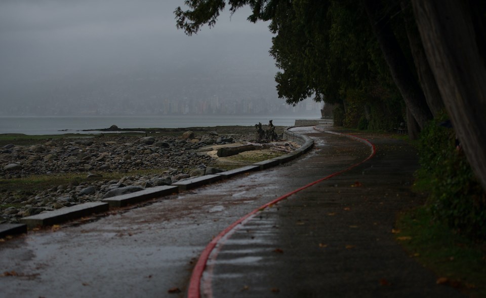
Starting sometime overnight Friday, clouds will roll into the Lower Mainland, bringing in some light showers sometime after noon on Saturday. While they will be rather light, they are expected to precipitate some heavier rainfall starting overnight Sunday and continuing into Monday, Environment Canada meteorologist Derrick Lee told V.I.A.
While the national weather forecaster isn't calling for a torrential downpour, the rainfall will likely bring some winds through the region, which will help clear any remaining haze from the wildfires in B.C., he explained.
Right now, a ridge of high pressure isn't allowing the smoke to rise up into the atmosphere, but the wet, windy conditions should clear it out by the start of next week.
Metro Vancouver weather forecast includes a shift to rainfall
Starting Sunday night into Monday morning, there will be anywhere from 10 to 20 mm of rainfall in the Lower Mainland. However, the North Shore Mountains and Vancouver Island could see as much as 150 mm of the wet stuff.
After Monday, there is the possibility of more rain on Tuesday and Wednesday, Lee noted, adding that it is likely locals could see wet weather several times next week.
The long-term Metro Vancouver forecast includes above-average temperatures heading all the way into December. For the remainder of September and through October, these temperatures are mostly caused by warmer-than-average sea surface temperatures, while November and September's above-average signal may be tied to El Niño.
But the first half of October is also looking predominantly wet, Lee said, noting that the month should see above-average precipitation, continuing the rainy end of September.
While he can't comment on how dry November and December will be, the meteorologist notes that El Niño's effect will become more pronounced in December. We are transitioning out of a La Niña phase, which tends to produce colder-than-normal winters with above-average snow. El Niño generally brings a wilder winter to the west coast.
V.I.A.'s weather forecasting platform, Weatherhood, provides detailed, neighbourhood-specific forecasts for places across the Lower Mainland that include metrics like temperature, precipitation, air quality, humidity, and wind pressure.