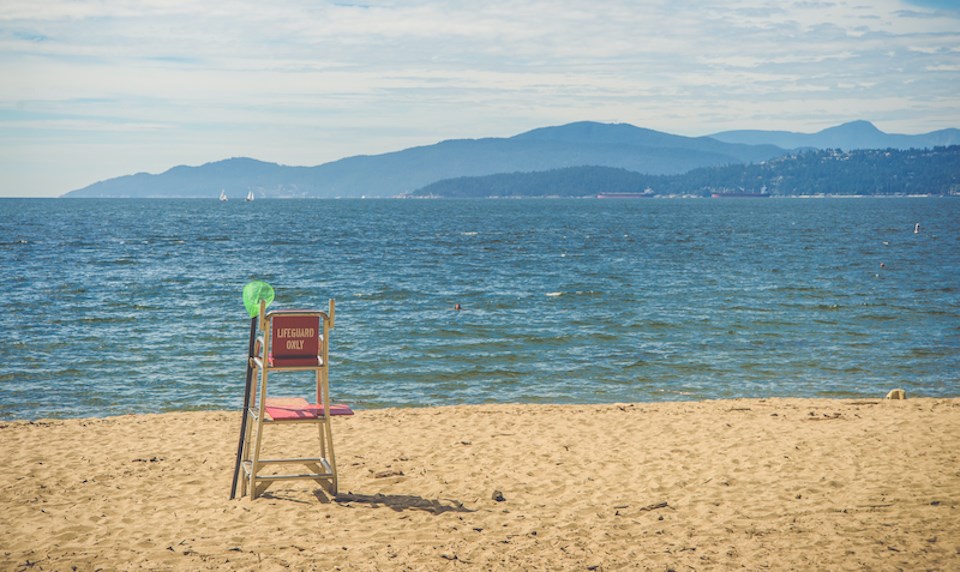
Warm weather is on its way to the Lower Mainland, ushering in the region's first taste of summer temperatures climbing over 20 C.
Environment Canada meteorologist Derek Lee expects the sun to begin shining Wednesday (April 26) in Metro Vancouver, following a couple of dismal days freckled with periods of showers and drizzle.
Wednesday's forecast includes a high of 14 C with an overnight low of 6 C and then temperatures are expected to climb heading into the weekend.
"Wednesday we will start to see the sun and then Thursday through Saturday we have three consecutive days of sunshine," Lee told V.I.A.
Temperatures will climb up to 17 C on Thursday and up to 21 C Friday, with inland temperatures reaching as high as 26 C. On Saturday, the hottest day of the week, coastal temperatures are expected to climb as high as 22 C with inland temperatures soaring to 27 C.
Lee says these daytime highs are about six to eight degrees above average, with overnight lows roughly five degrees warmer than usual. That said, they are "still a bit chilly."
"This is not summer heat," he clarifies, noting that daytime highs will only peak for about an hour a day before dropping back down.
"Our daylight hours aren't as long as summer."
Metro Vancouver weather is expected to transition to showers following the heat
Following the sunny stretch, the forecast includes a cooler pattern on Sunday and Monday, with some showers returning to the region. But there is a chance the heat could return again next week.
"Next week, mid-week, there could be warmer temperatures returning," Lee said.
There is currently a "good signal" for May to see above-average temperatures, while June's forecast remains unclear.
"June is one of those more volatile months," the meteorologist notes, referencing its notorious "June-uary" moniker.
The province is also "seeing a transition to El Nino in June and July" that may produce "warmer than usual temperatures," Lee explained.
While El Niño refers to warmer temperatures than average in the central/eastern tropical Pacific, these temperature changes can impact weather a long way away, including in the Pacific Northwest.
There may be near-record (or record, depending on the strength of El Niño) global temperatures as the warming from El Niño combines with the long-term global warming trend.


